FreakMaps — Ülkeye göre otoyol, şehir ve altyapı haritaları
FreakMaps, süzülebilir etkileşimli haritalarla dünyayı keşfetmenizi sağlar. Nüfus, alan ve yoğunluğa göre şehirler; hız limiti, şerit, yapım durumuna göre otoyollar ve bağlantı yolları; yerleşim başına demiryolu ve otoyol erişimi. Veriler dünya çapında OpenStreetMap katkıcılarından gelir ve her gün yenilenir. 200’den fazla ülke ve bölge, 13 dil.
Görmek istediğinizi görün.
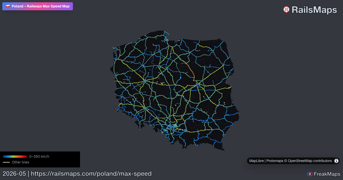
RailsMaps
Dünyadaki her hat. Tür, hız, elektrifikasyon, hat genişliğine göre süzün — yalnızca ilgilendiğinizi görün.
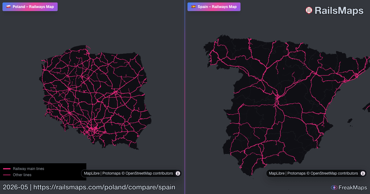
İki bölgeyi yan yana koyarak ağ farklarını anında görün.

RAILSMAPS MOBILE
iOS & Android
650+ bölge çevrimdışı kullanılabilir. Yola çıkmadan indirin — raylarda internet gerekmez.
$4,99 tek seferlik · tüm güncellemeler dahil
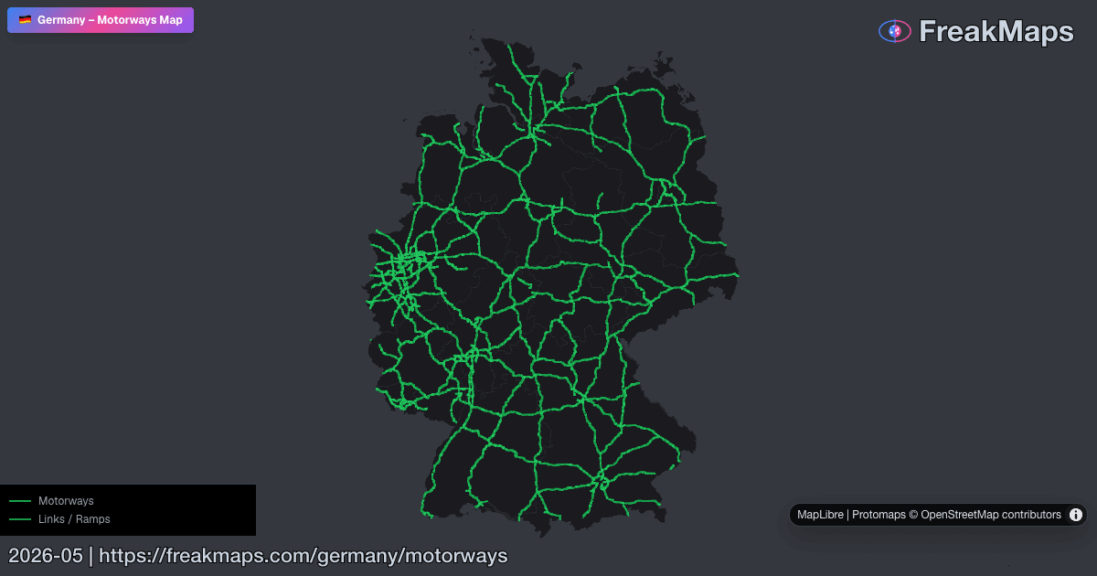
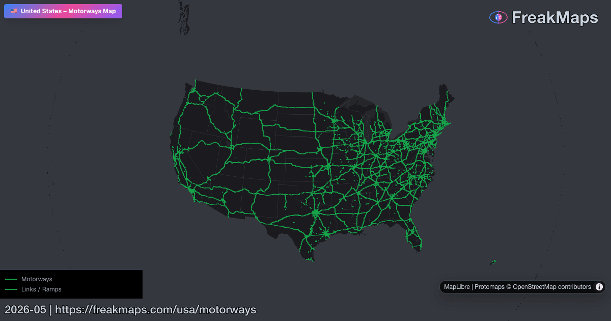
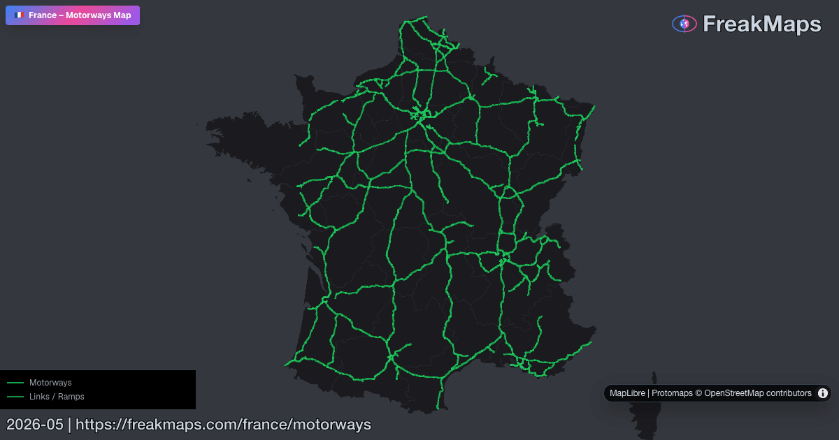
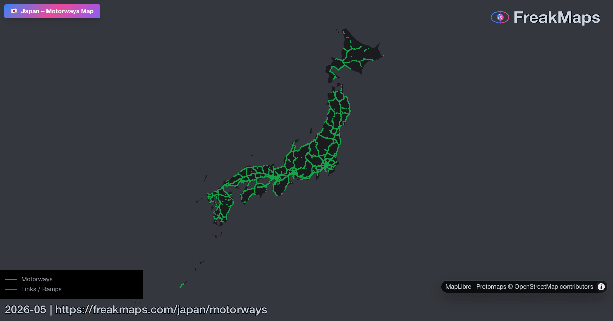
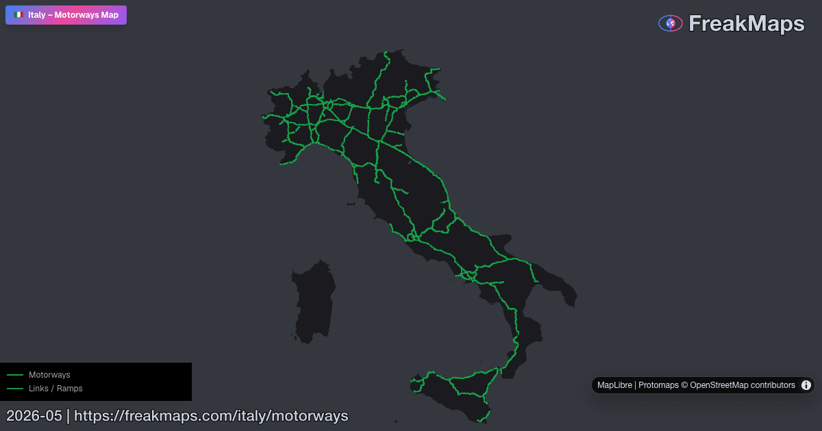
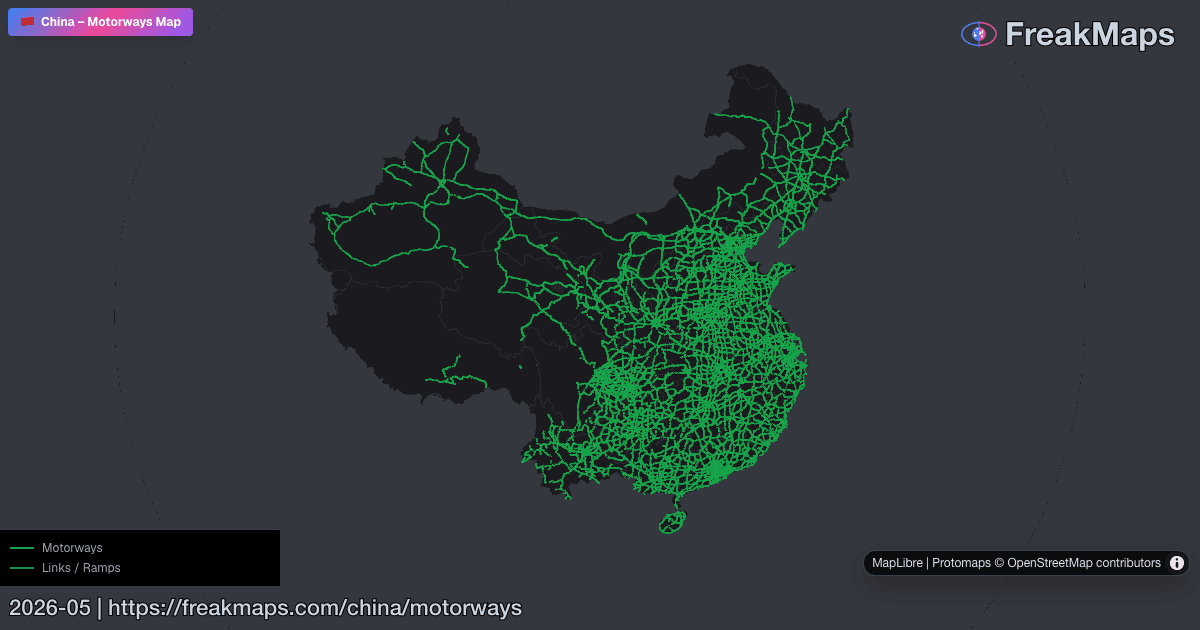
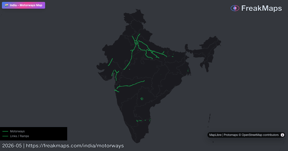
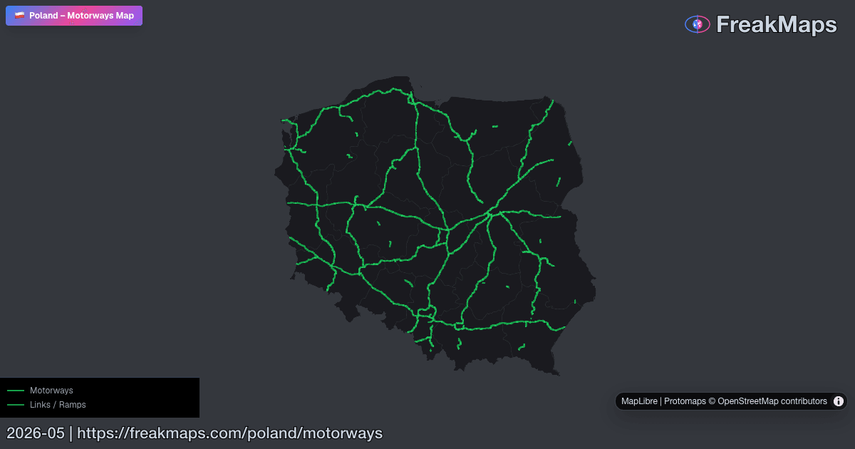
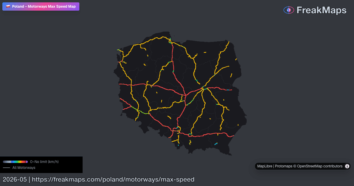
Otoyollar
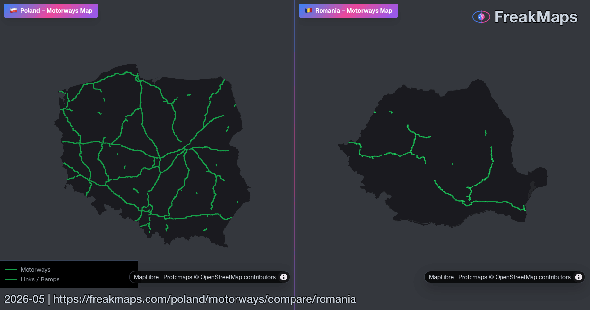
Bölgeye göre etkileşimli otoyol haritaları. İkisini birlikte görmek için yol türü menüsünden bağlantı yollarını da ekleyin.
Bölgeyi karşılaştır ile iki otoyol ağını eşzamanlı harita panellerinde görün.
Şehir ve kasabalar
Nüfus, yoğunluk, demiryolu bağlantısı ve daha fazlasına göre filtreleyin.
Dışa aktarma geçişi
Stil. Kırp. Dışa aktar.
Kendi harita stilini oluştur, gerçek bölge sınırlarına göre kırp ve sunumlar, makaleler ya da baskı için temiz PNG’ler dışa aktar.
2,99 $’dan itibaren, abonelik yok · FreakMaps + RailsMaps
Öne çıkan karşılaştırmalar
Yüksek sinyalli yan yana haritalara doğrudan atlayın.
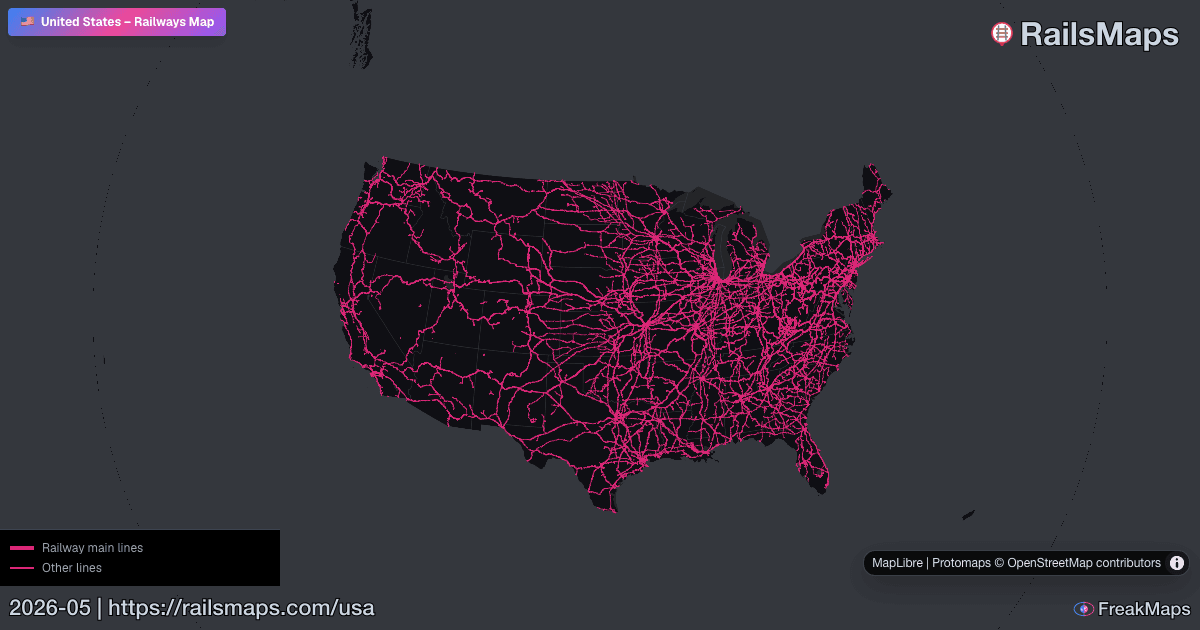
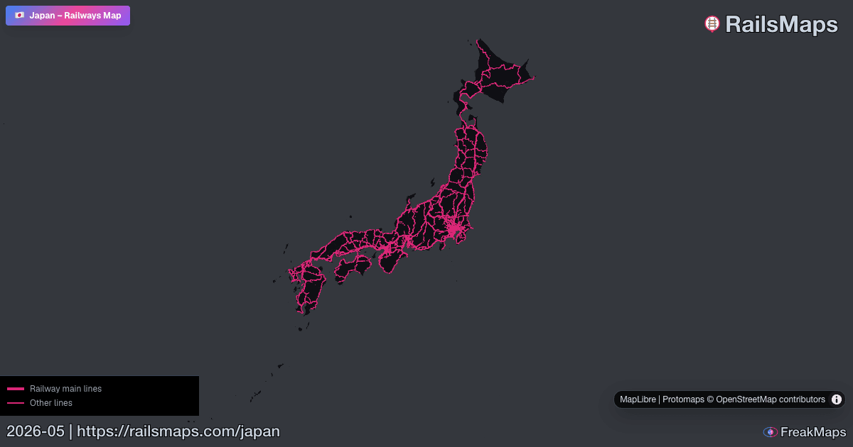
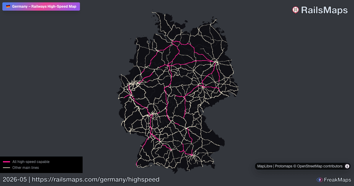
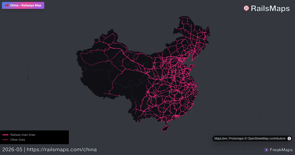
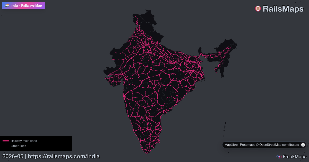
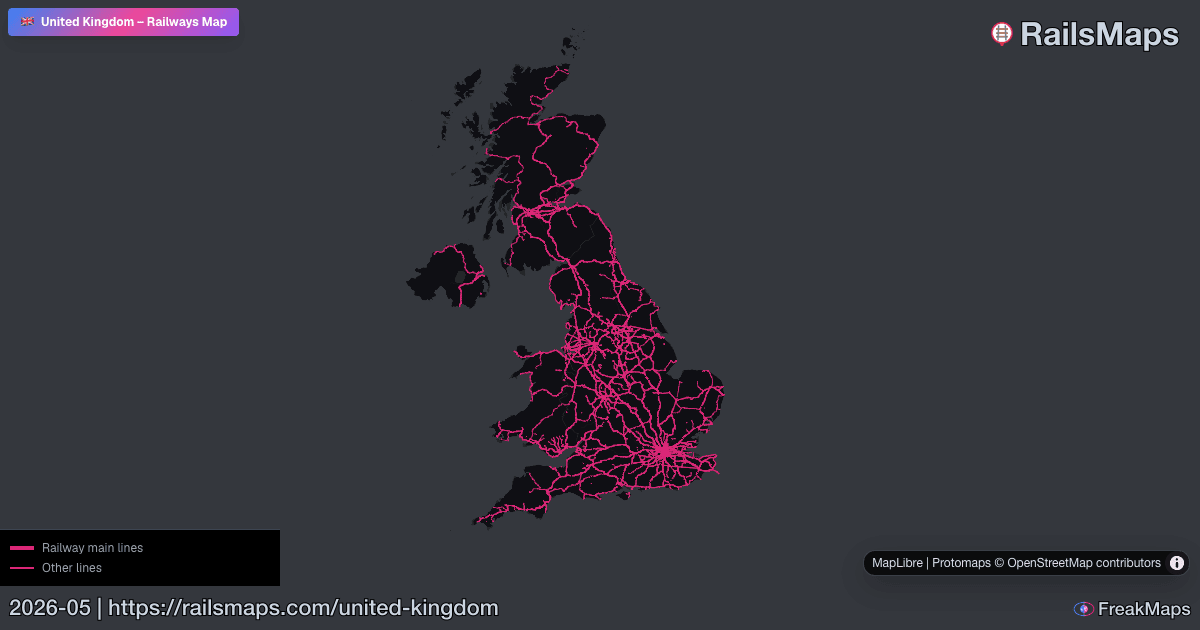
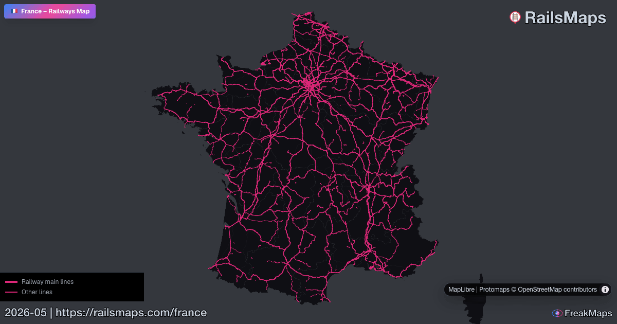
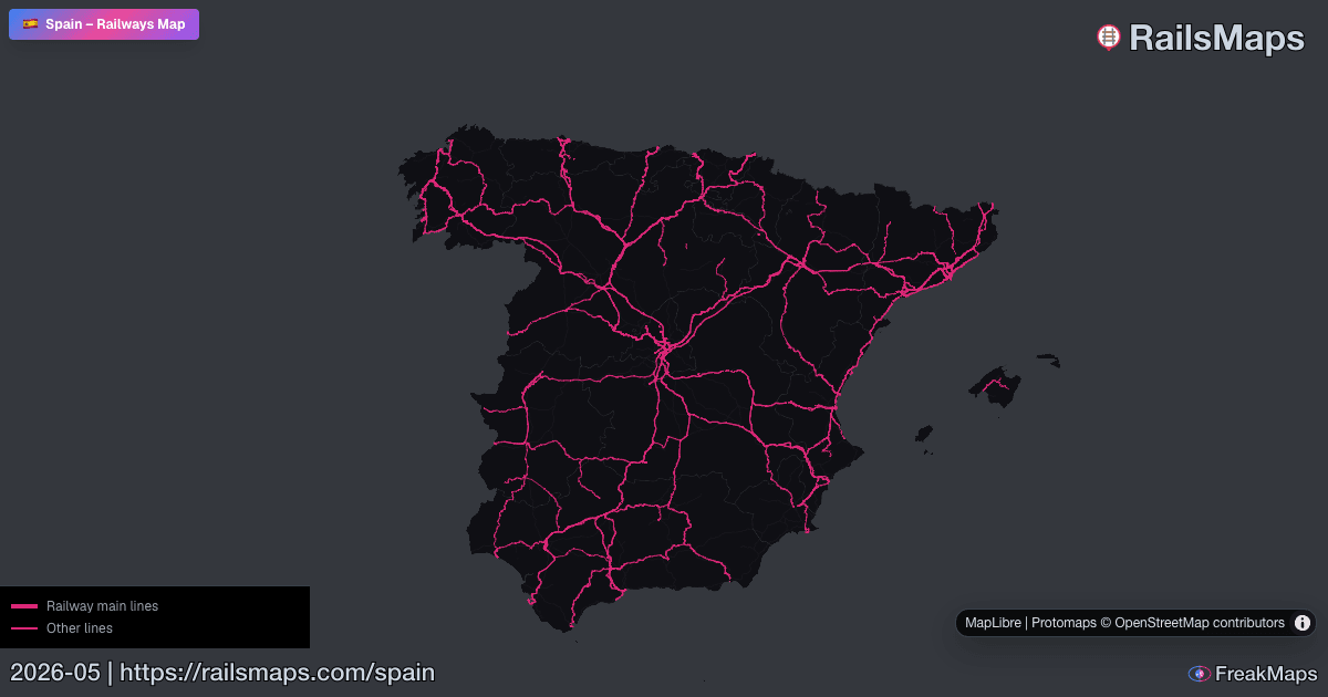
Harita önizlemeleri
FreakMaps ve RailsMaps’tan birkaç Open Graph önizleme görseli — canlı haritalara tıklayın.
Tüm veriler OpenStreetMap katkıcılarından — topluluğun aktif olduğu yerlerde ayrıntılı, olmadığında seyrek. Küçük harfleri değil, büyük resmi gösterir.