FreakMaps - Mapas para os Curiosos
FreakMaps permite explorar o mundo através de mapas interativos filtráveis. Cidades por população e densidade, autoestradas por estado de construção e mais — tudo a partir dos dados dos contribuidores do OpenStreetMap.
Veja o que quiser.
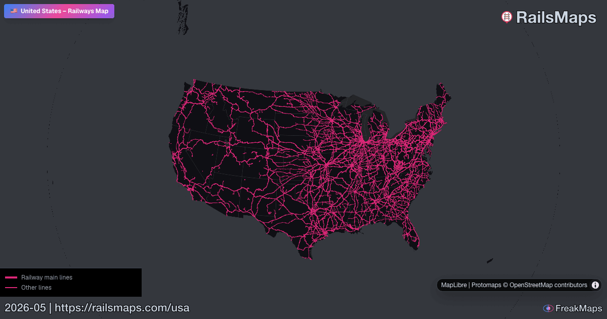
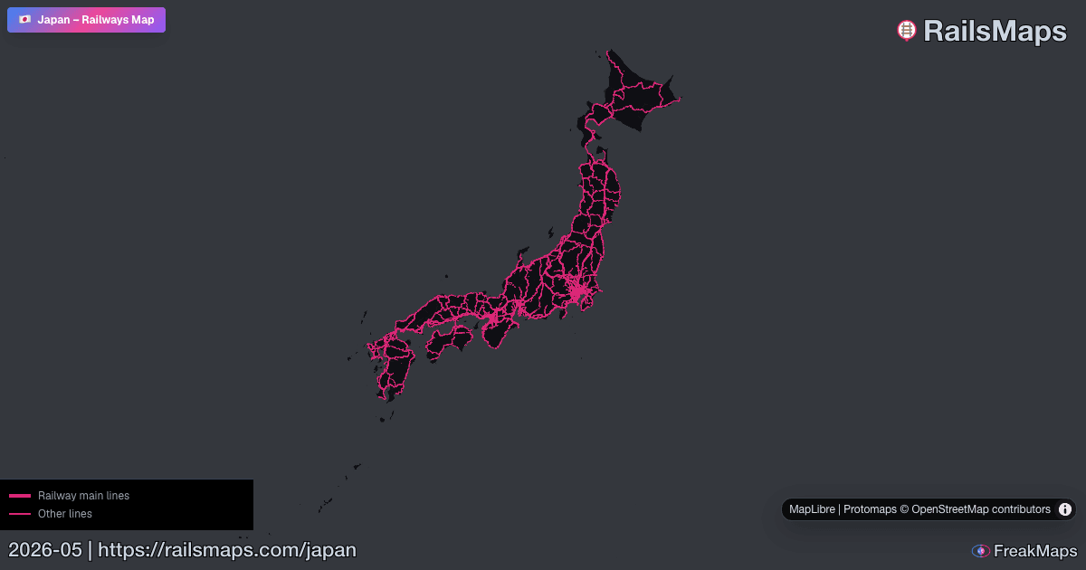
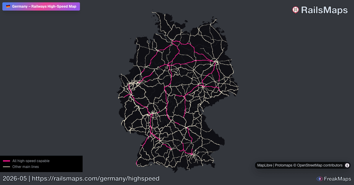
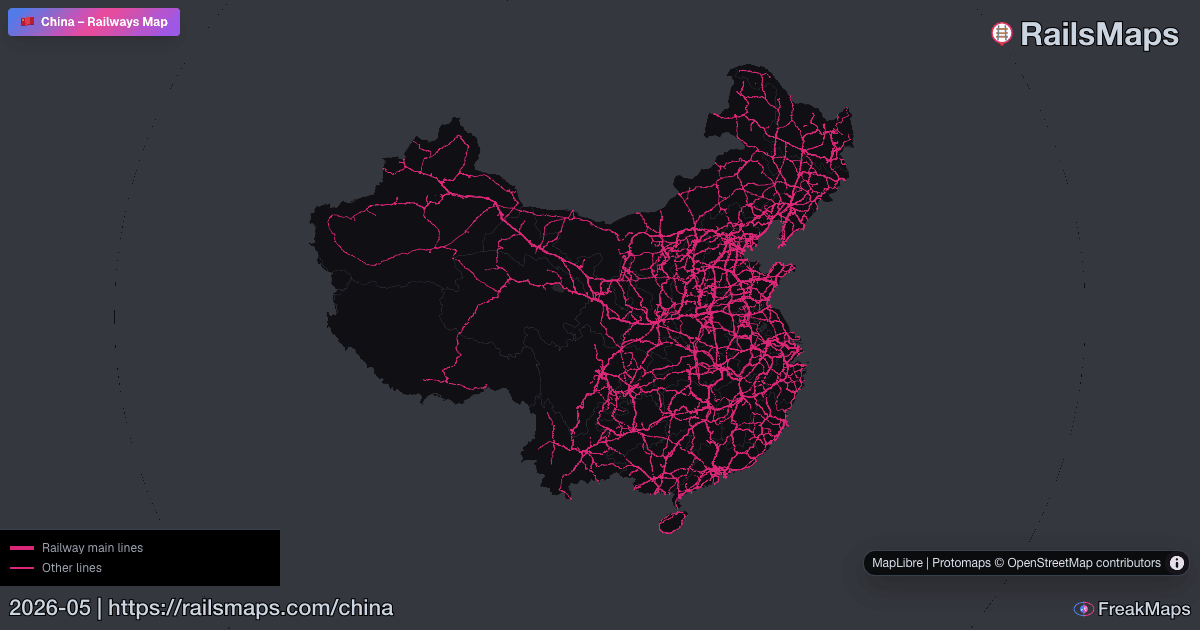
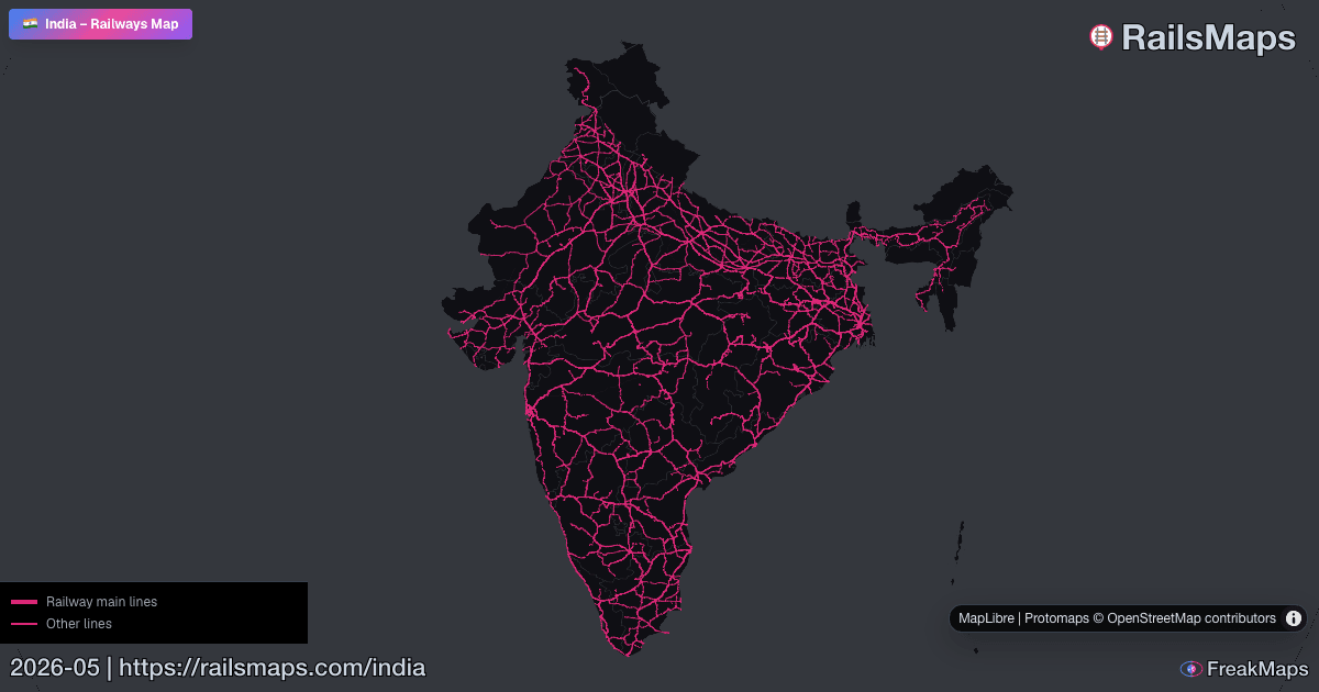
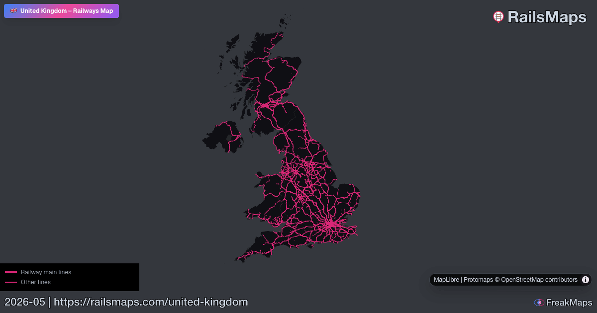
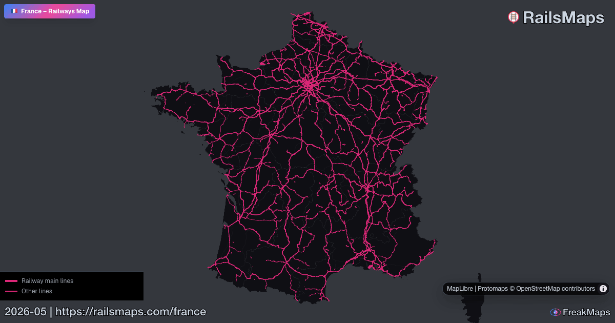
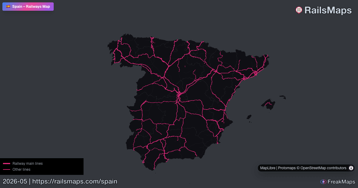
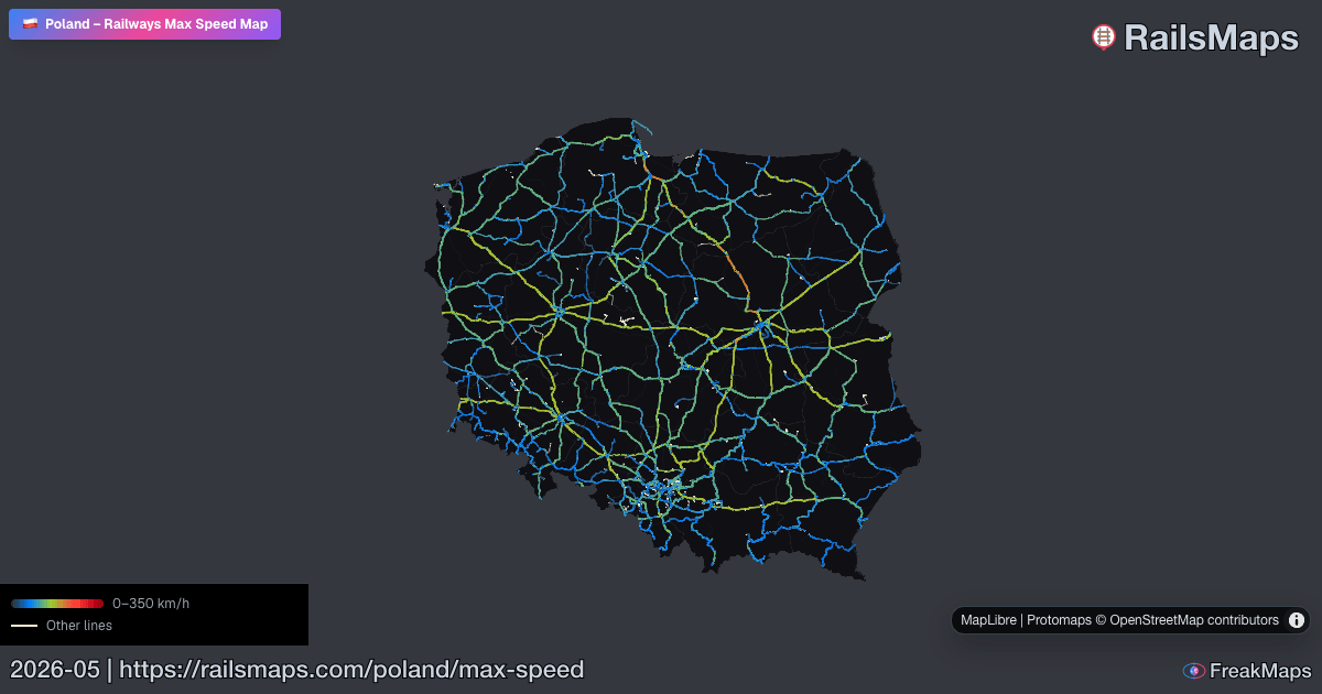
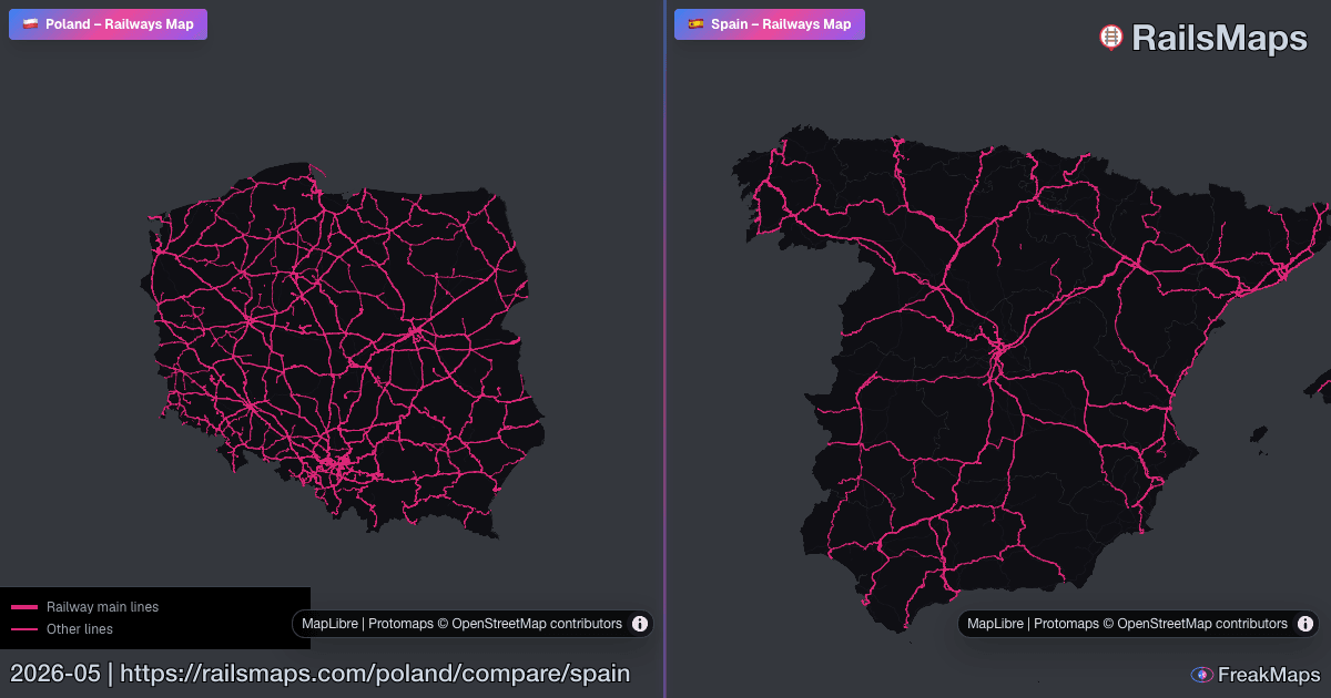
RailsMaps
Alterne tipos de trilhos. Filtre por país. Veja apenas o que precisa.
Compare duas regiões lado a lado e veja instantaneamente as diferenças da rede.

RAILSMAPS MOBILE
iOS & Android
650+ regiões disponíveis offline. Baixe antes de sair — sem conexão nos trilhos.
$4,99 uma vez · atualizações incluídas · sem subscrição
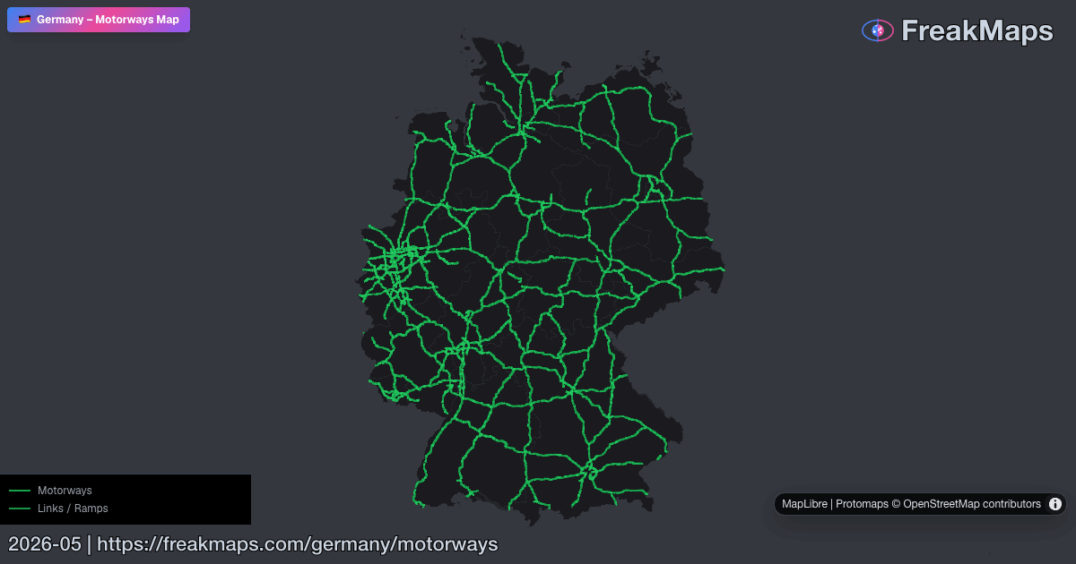
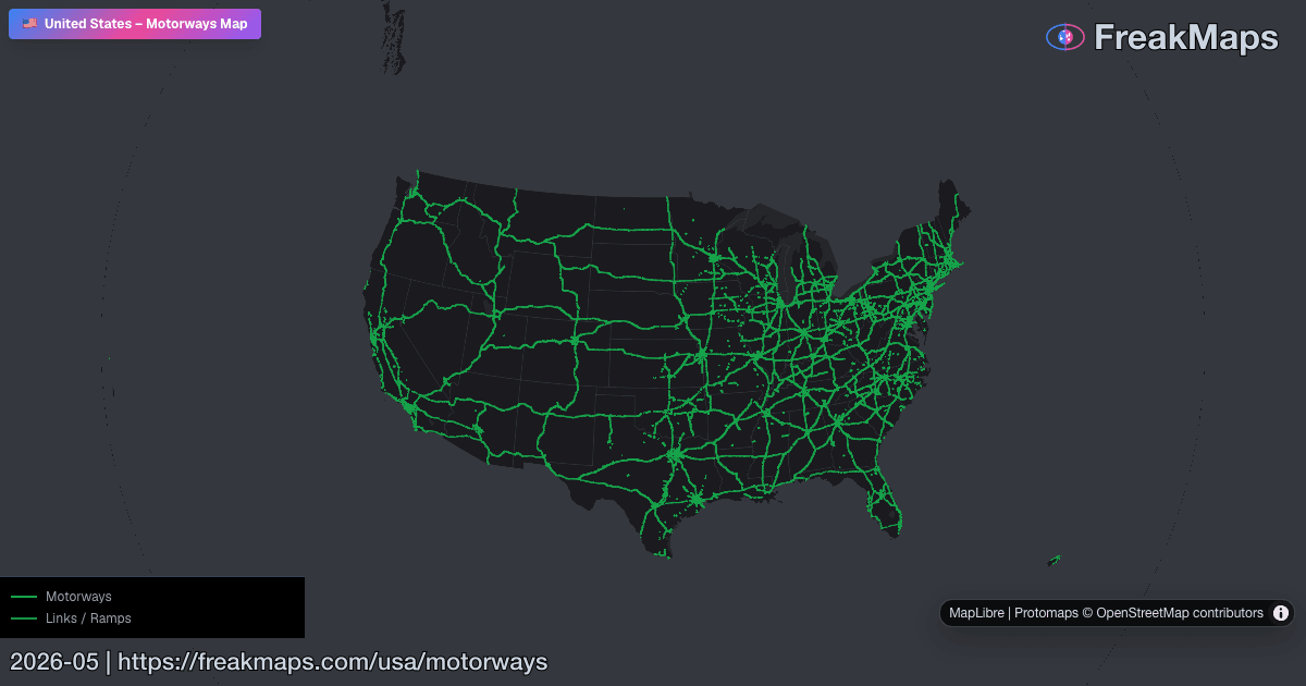
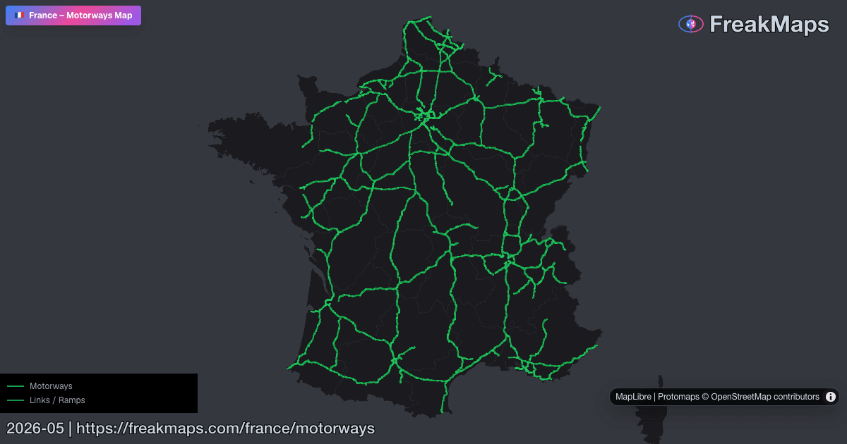
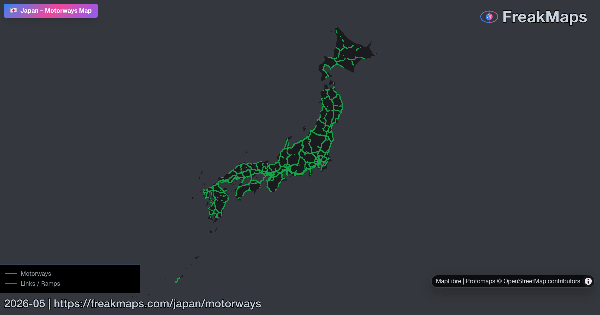
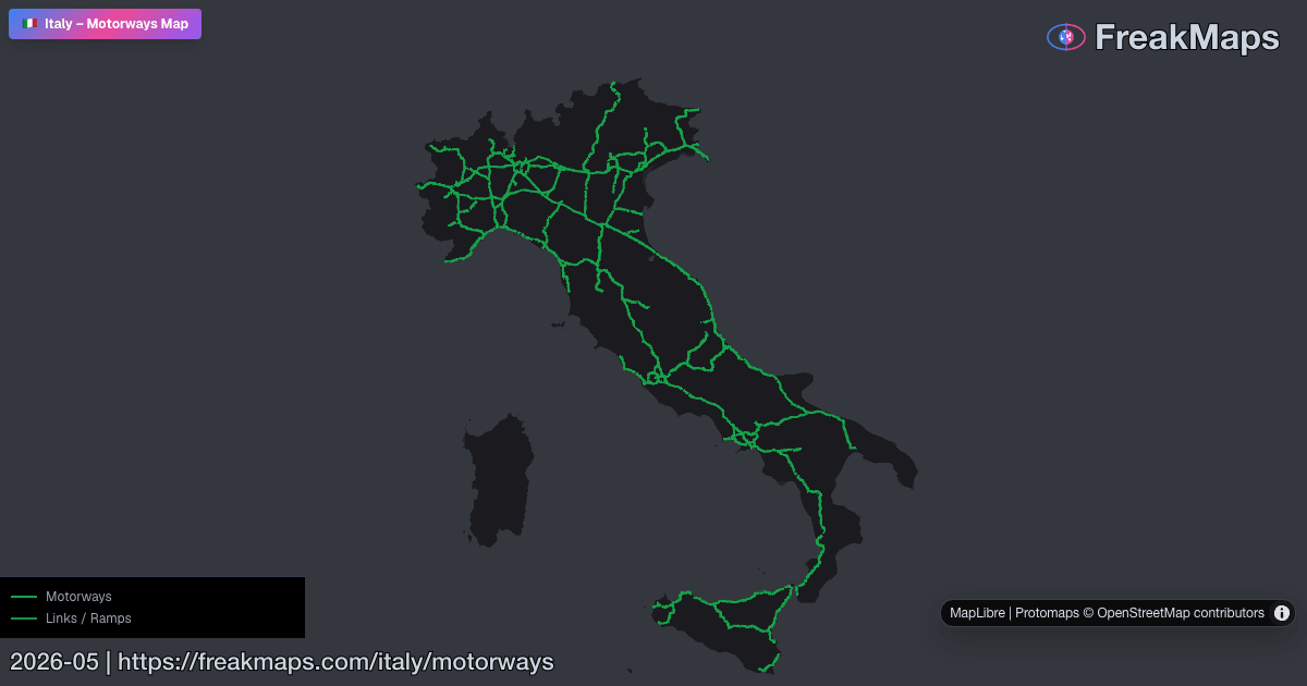
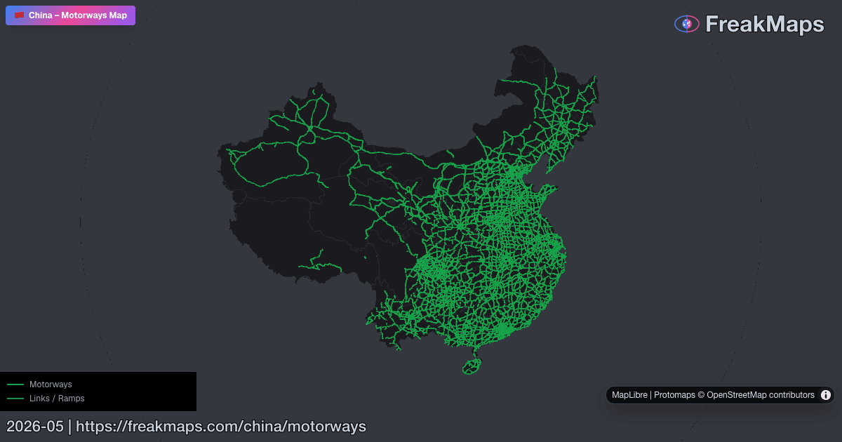
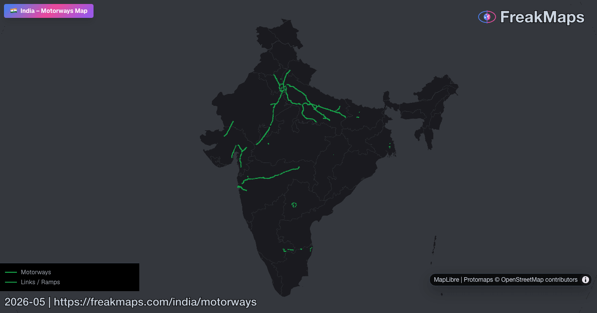
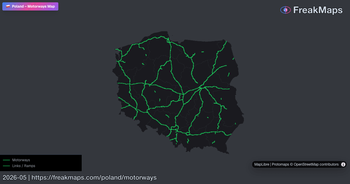
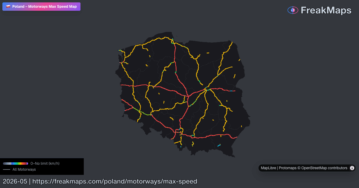
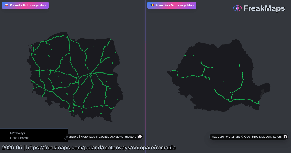
Autoestradas
Mapas interativos de autoestradas por região. Inclua vias expressas no menu de tipo de estrada.
Use Comparar região para ver duas redes de autoestradas em mapas sincronizados.
Cidades
Encontre sua cidade. Filtre pelo que importa.
Passe de exportação
Estilo. Recorte. Exportação.
Cria o teu próprio estilo de mapa, recorta por limites reais de regiões e exporta PNGs limpos para apresentações, artigos ou impressão.
Desde 2,99 $, sem subscrição · FreakMaps + RailsMaps
Comparações em destaque
Aceda de imediato a mapas lado a lado muito úteis.
Antevisões do mapa
Algumas imagens Open Graph do FreakMaps e RailsMaps — clique para ir aos mapas ao vivo.
Dados dos contribuidores do OpenStreetMap. Podem ser imprecisos, mas mostram o panorama geral.