FreakMaps — 국가별 고속도로·도시·인프라 인터랙티브 지도
FreakMaps는 필터가 풍부한 인터랙티브 지도로 세계를 탐색하게 해 줍니다. 인구·면적·밀도별 도시, 제한속도·차선·공사 상태별 고속도로와 고속화도로, 정거장·고속도로 접근성 등 정착지별 연결성을 살펴볼 수 있습니다. 전 세계 OpenStreetMap 기여자의 데이터를 매일 반영합니다. 200개 이상의 국가·지역, 13개 언어를 지원합니다.
보고 싶은 것만 보세요.
나머지는 숨기고요.
그다음엔 흥미가 이끄는 대로 깊게 파고들어 보세요.

내보내기 패스
스타일. 잘라내기. 내보내기.
나만의 지도 스타일을 만들고 실제 지역 경계로 잘라내어 발표, 글, 인쇄용 깔끔한 PNG를 내보내세요.
$2.99부터, 구독 없음 · FreakMaps + RailsMaps
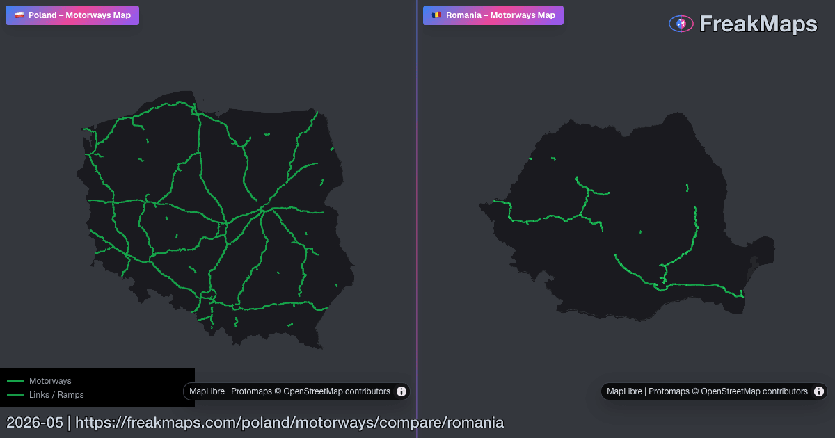
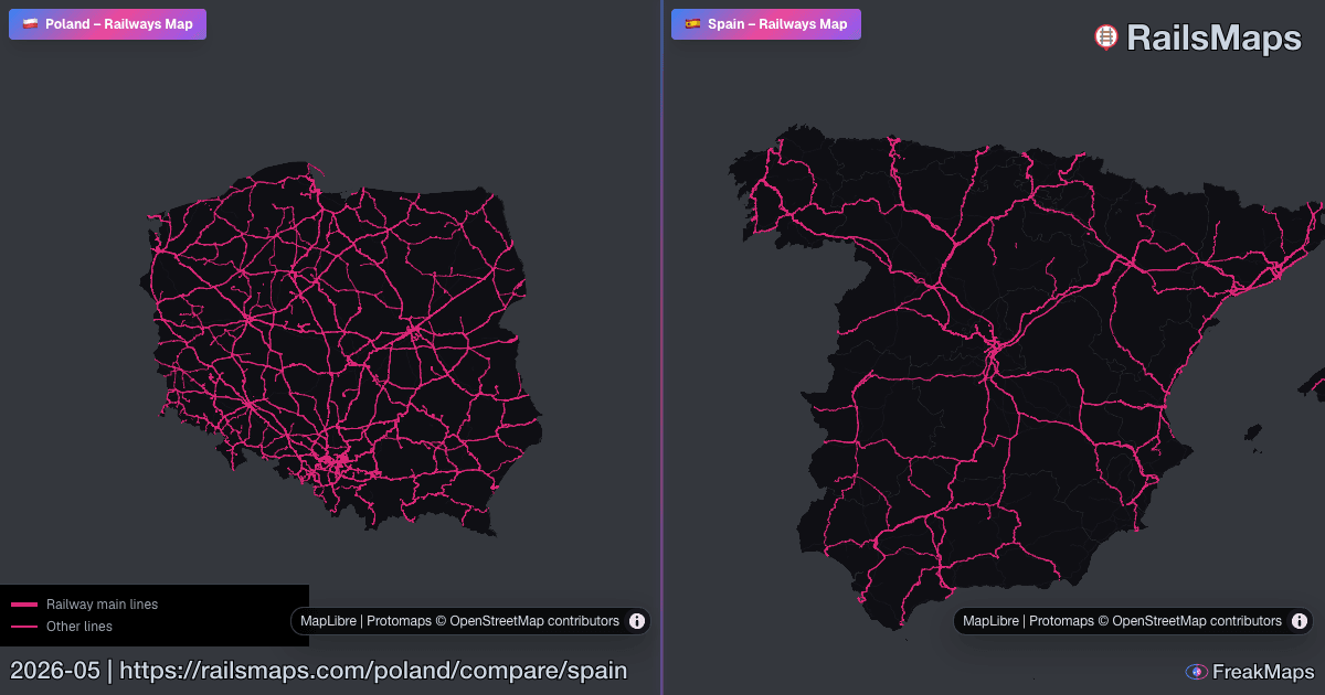
추천 비교
정보 밀도가 높은 나란히 비교 지도로 바로 이동합니다.
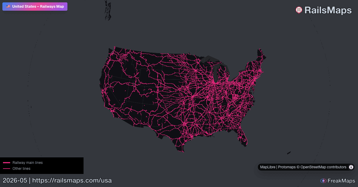
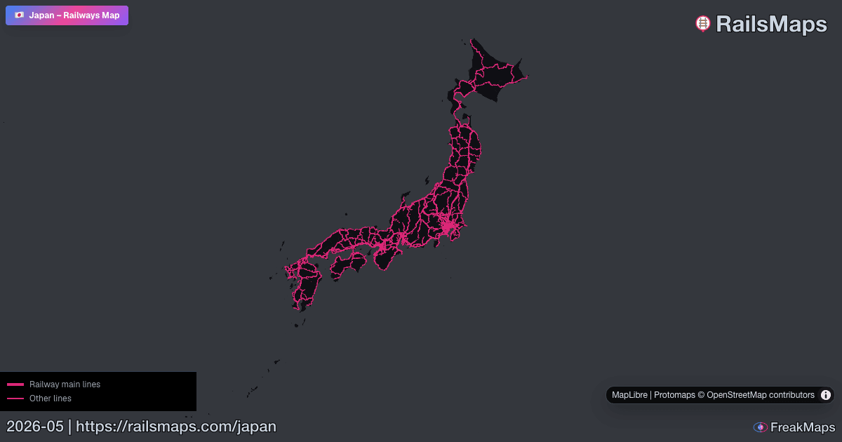
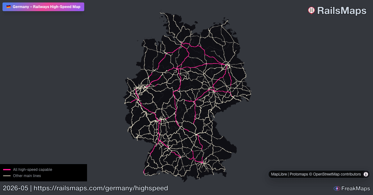
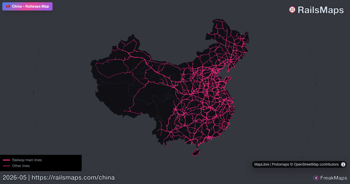
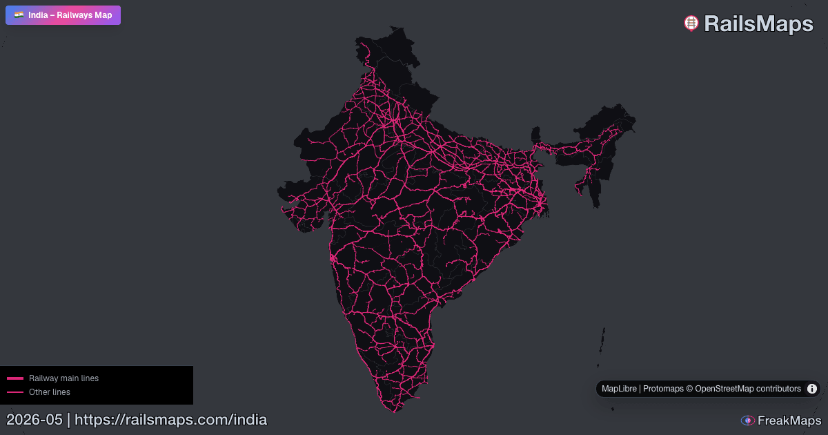
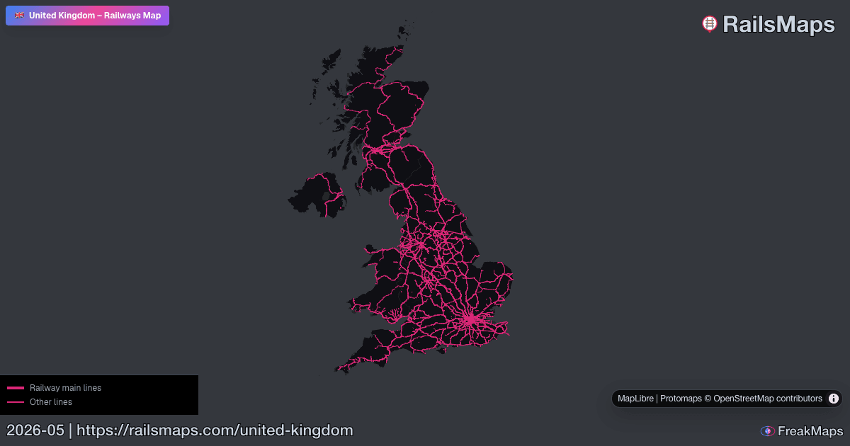
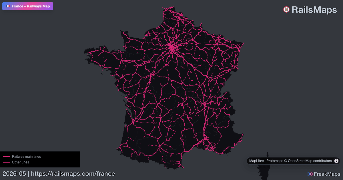
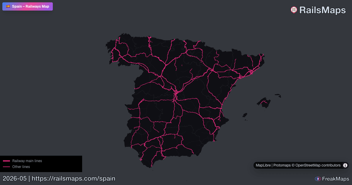
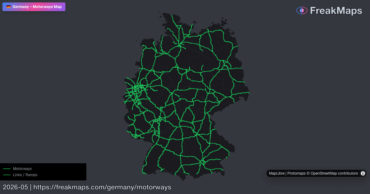
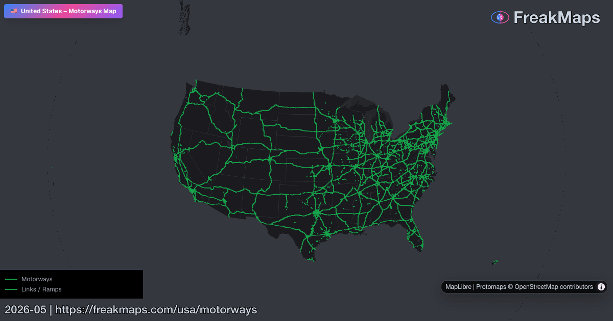
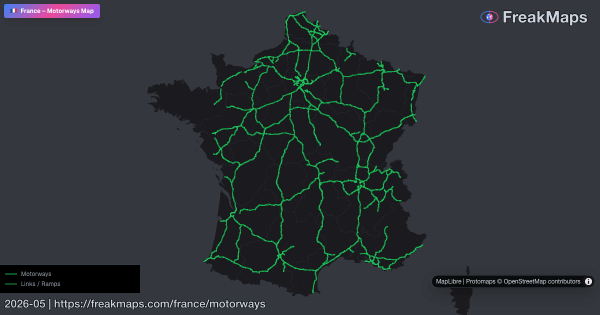
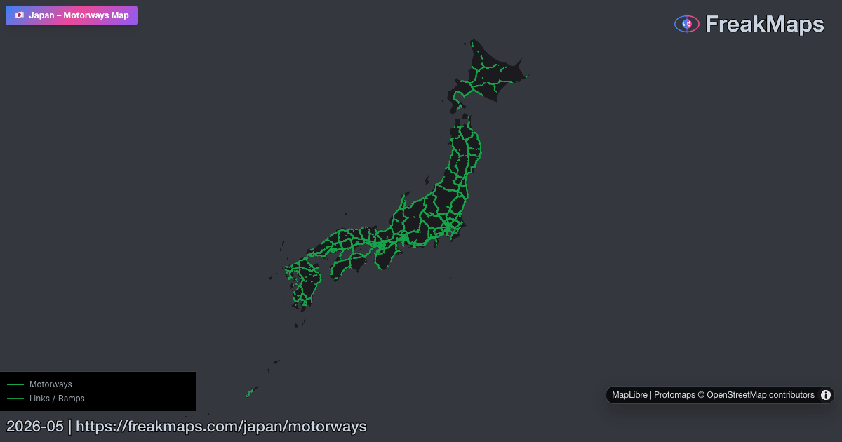
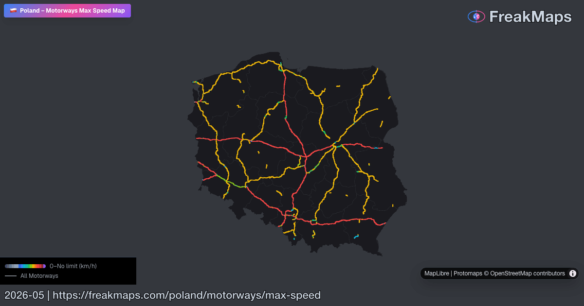
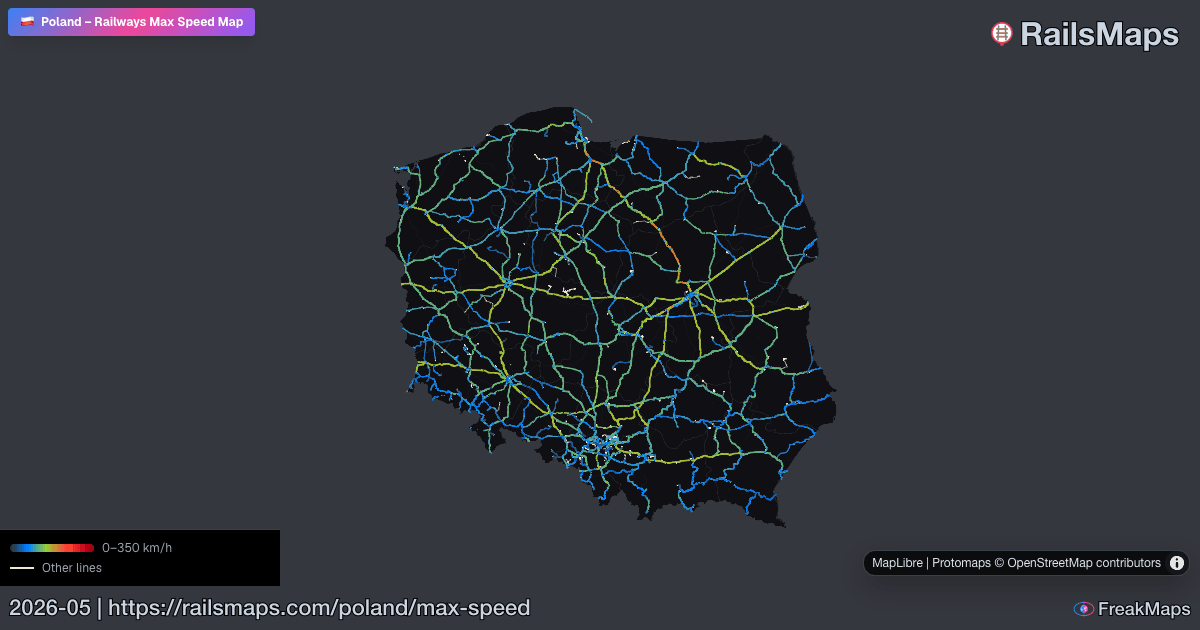
지도 미리보기
FreakMaps와 RailsMaps의 Open Graph 미리보기 이미지 일부입니다 — 클릭하면 실시간 지도로 이동합니다.
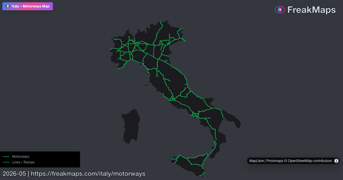
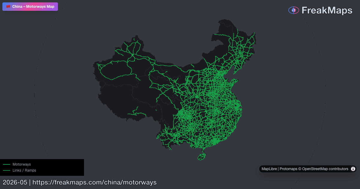
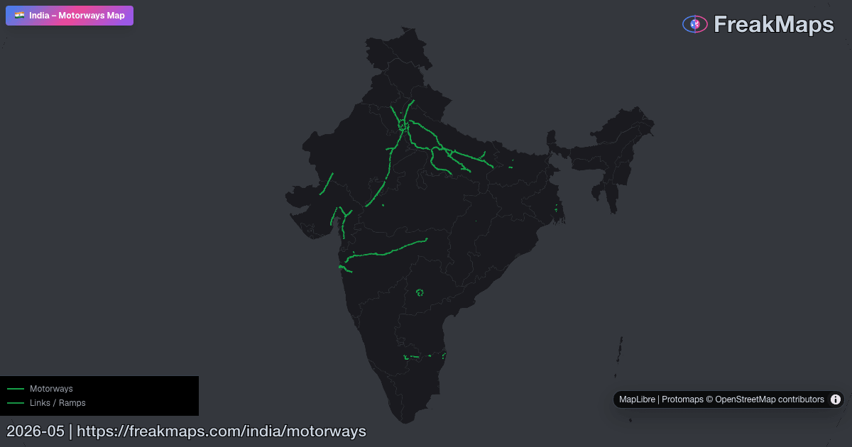
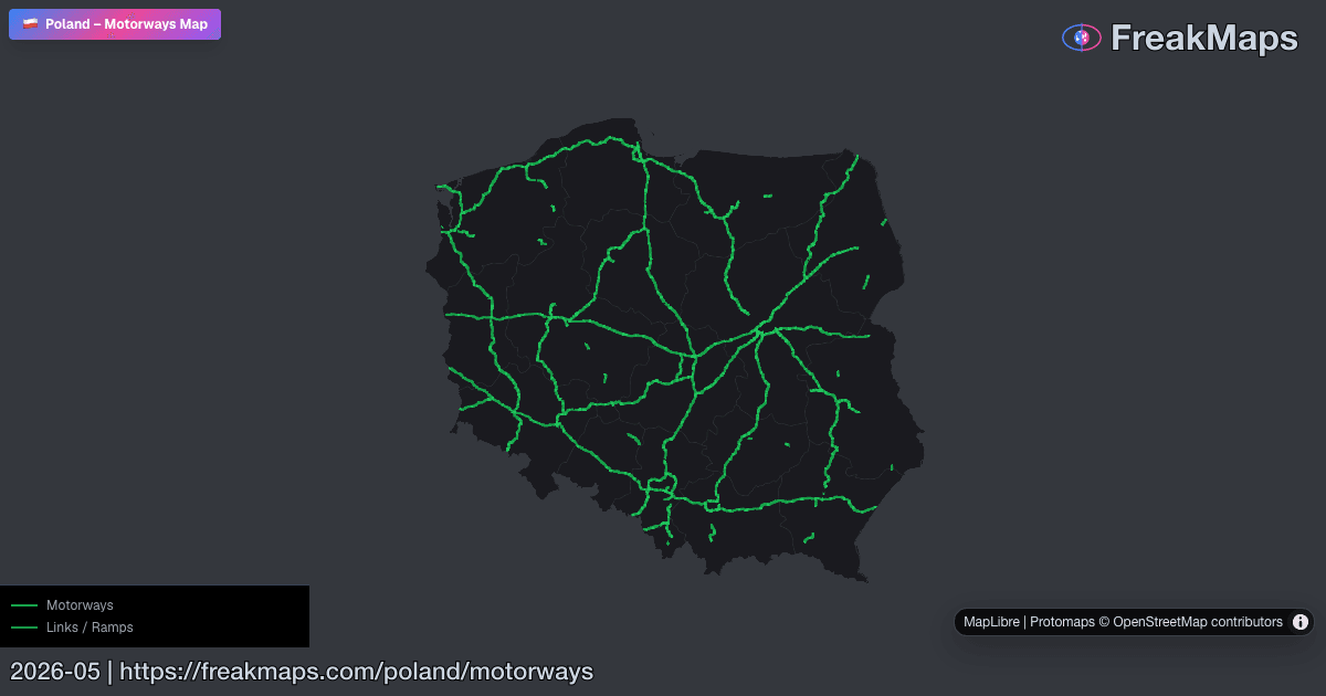
데이터는 모두 OpenStreetMap 기여자에서 옵니다 — 커뮤니티가 활발한 곳은 상세하고, 그렇지 않은 곳은 성긴 편입니다. 세부 법규가 아니라 큰 그림을 보여 줍니다.