FreakMaps - Mapas para los Curiosos
FreakMaps te permite explorar el mundo a través de mapas interactivos filtrables. Ciudades por población y densidad, autopistas por estado de construcción y más — todo con datos de colaboradores de OpenStreetMap.
Ve lo que quieras.
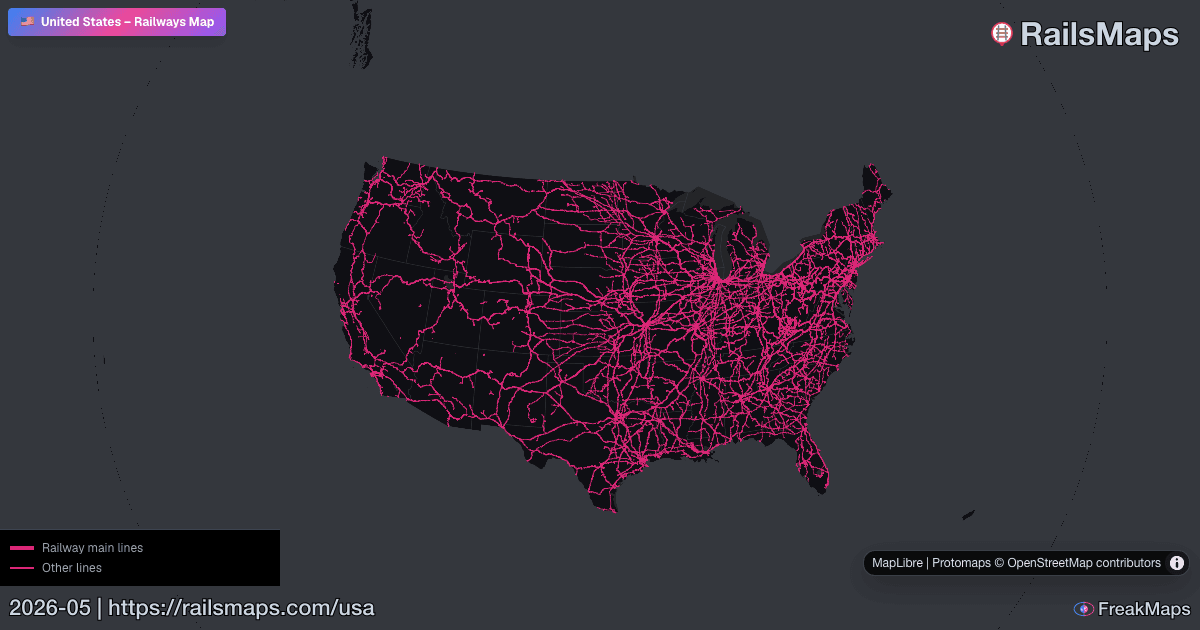
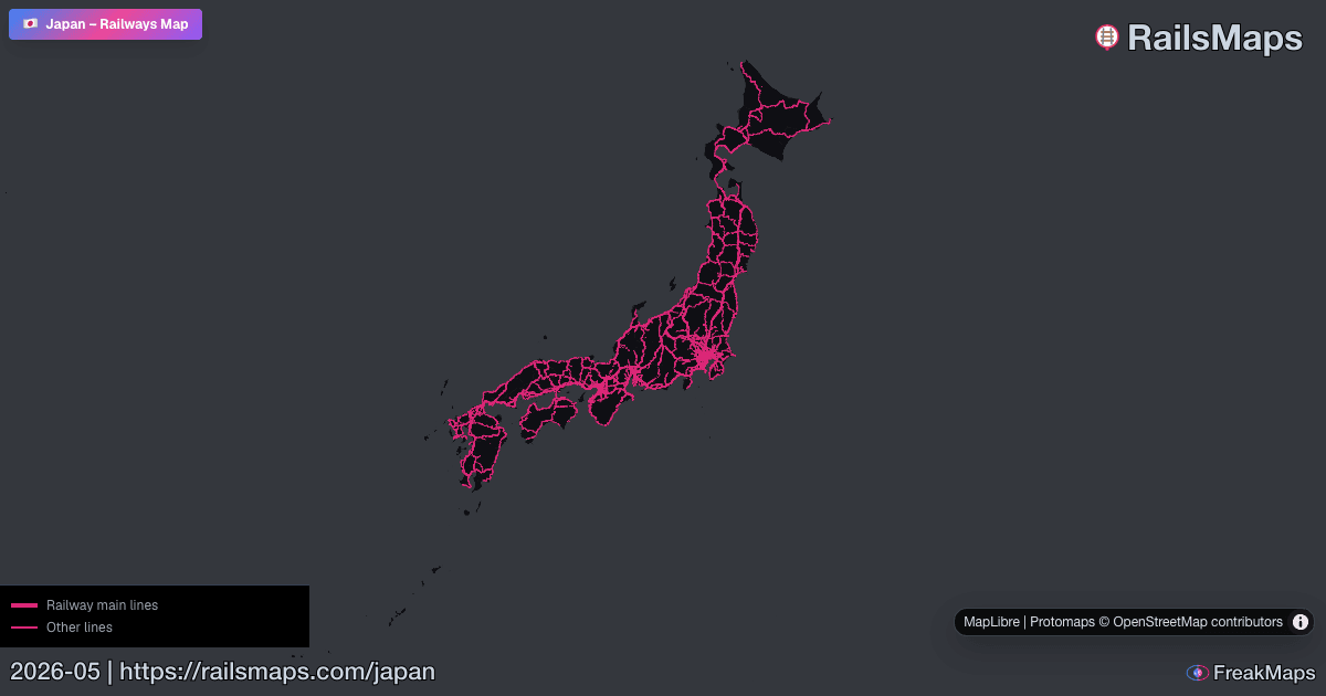
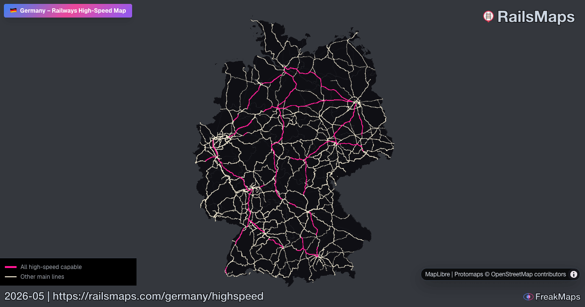
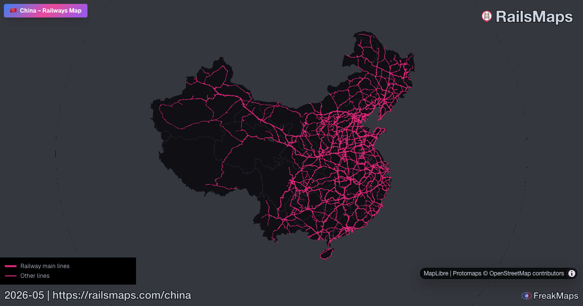
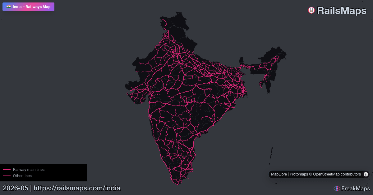
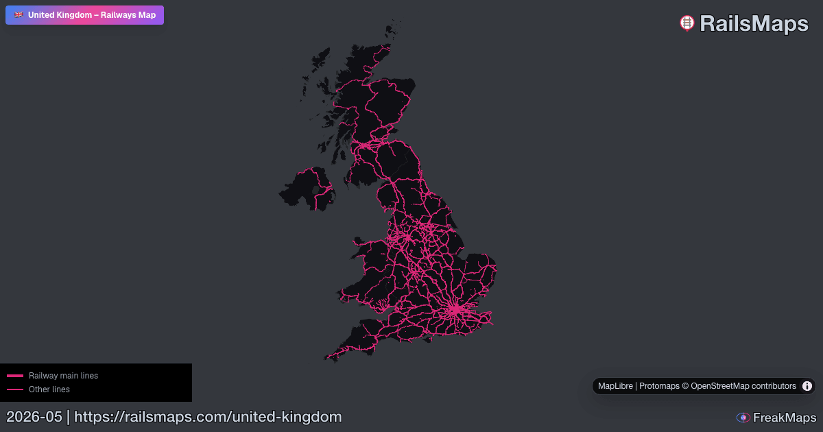
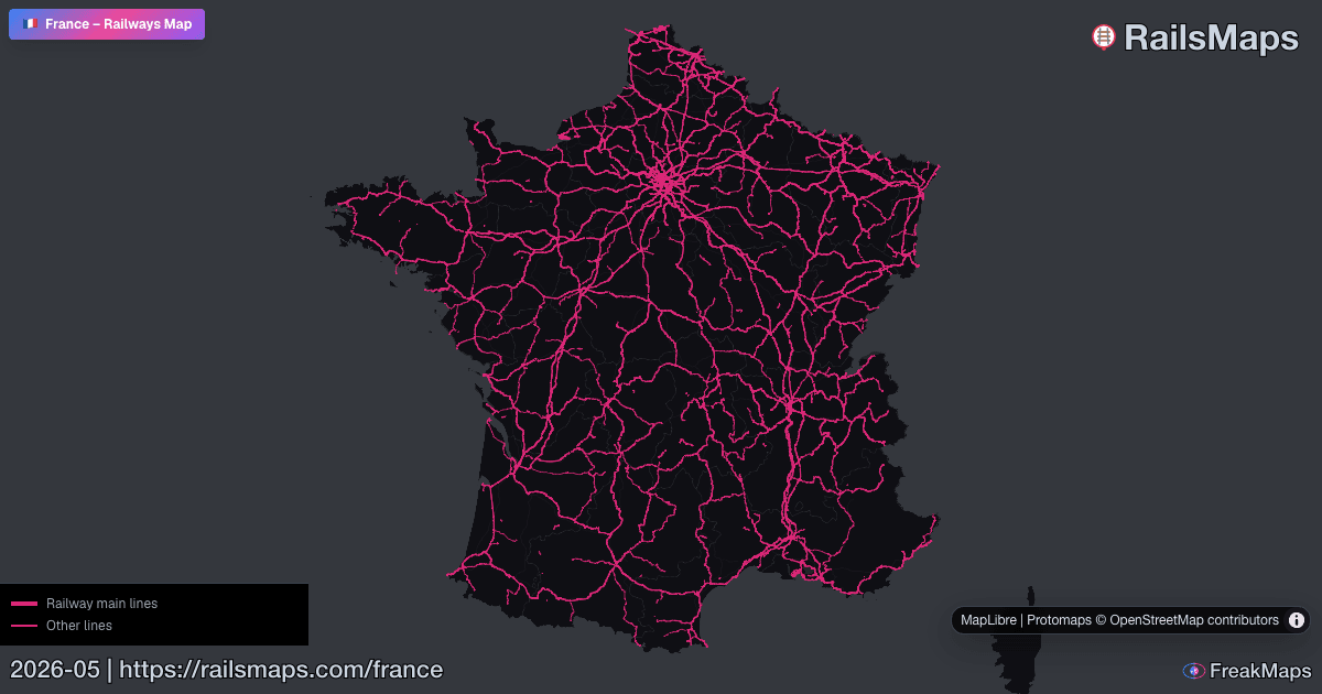
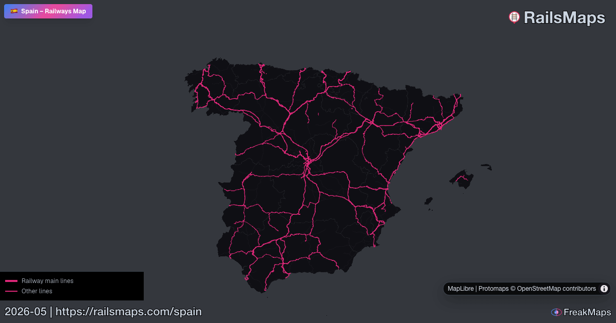
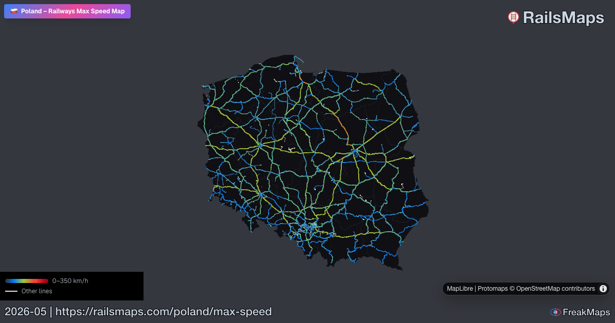
RailsMaps
Alterna tipos de ferrocarril. Filtra por país. Ve solo lo que necesitas.
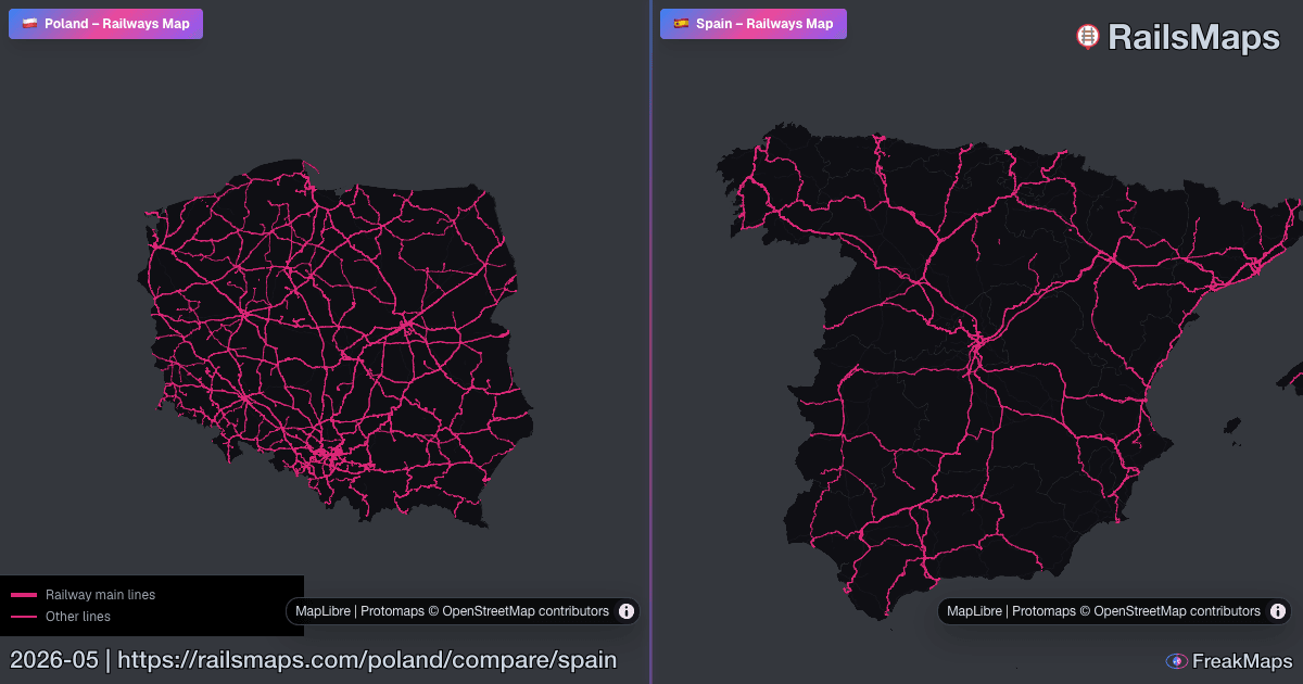
Compara dos regiones lado a lado para detectar diferencias en la red al instante.

RAILSMAPS MOBILE
iOS & Android
650+ regiones disponibles sin conexión. Descarga antes de salir — sin red sobre raíles.
$4,99 una vez · actualizaciones incluidas · sin suscripción
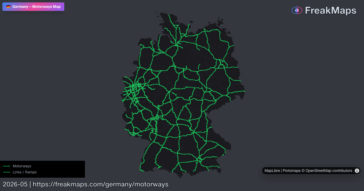
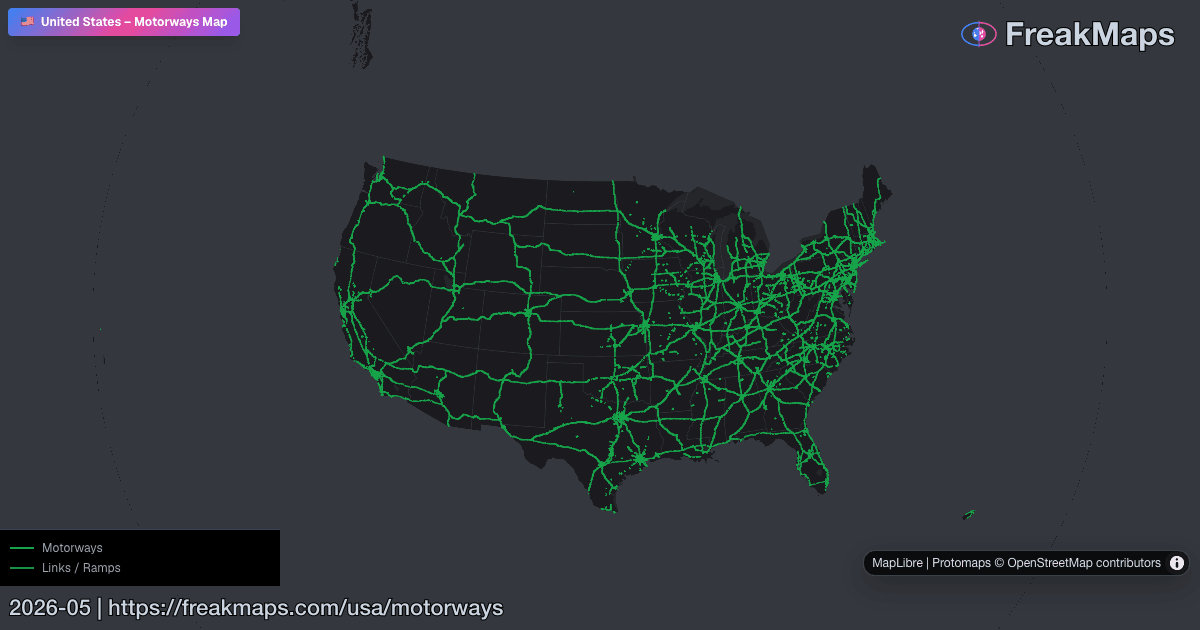
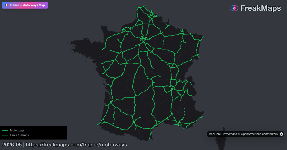
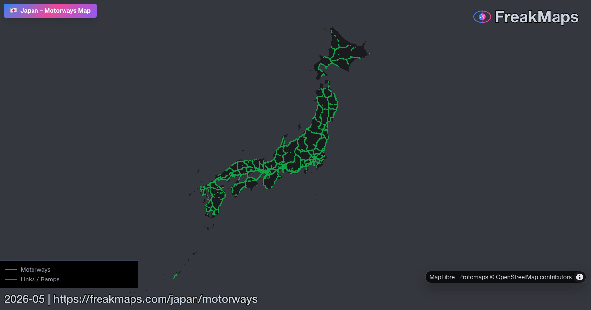
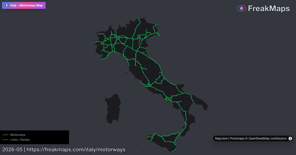
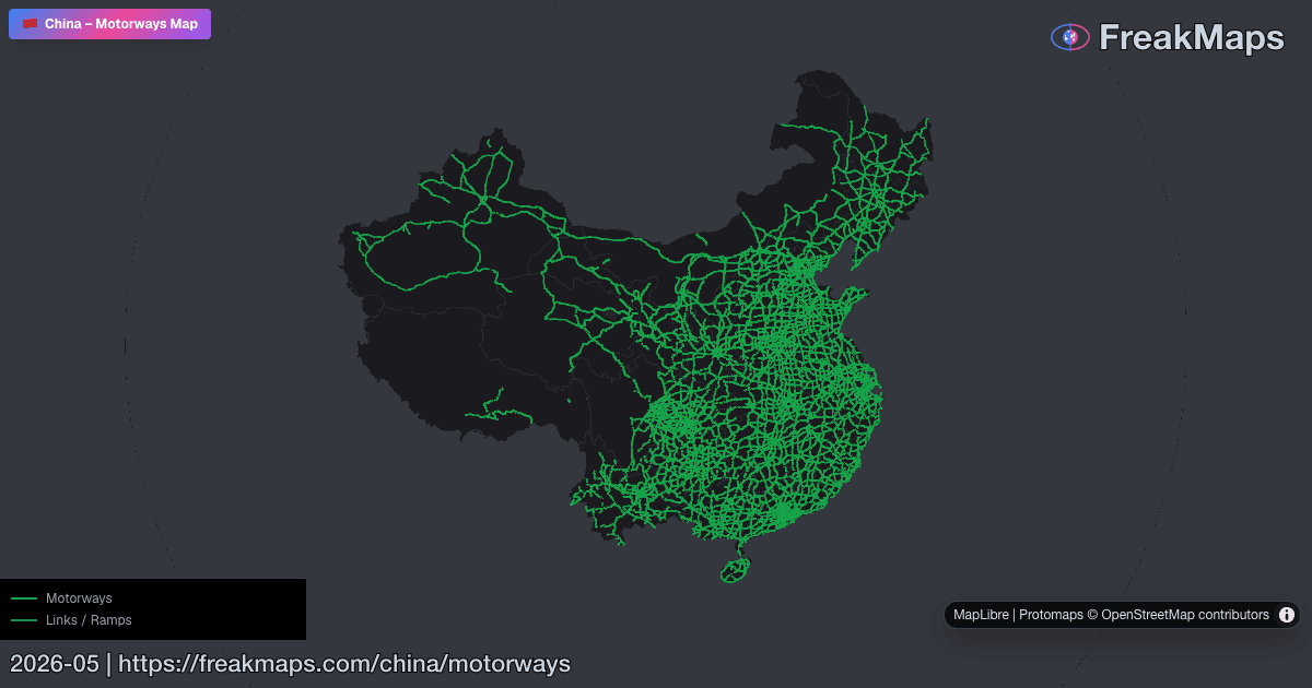
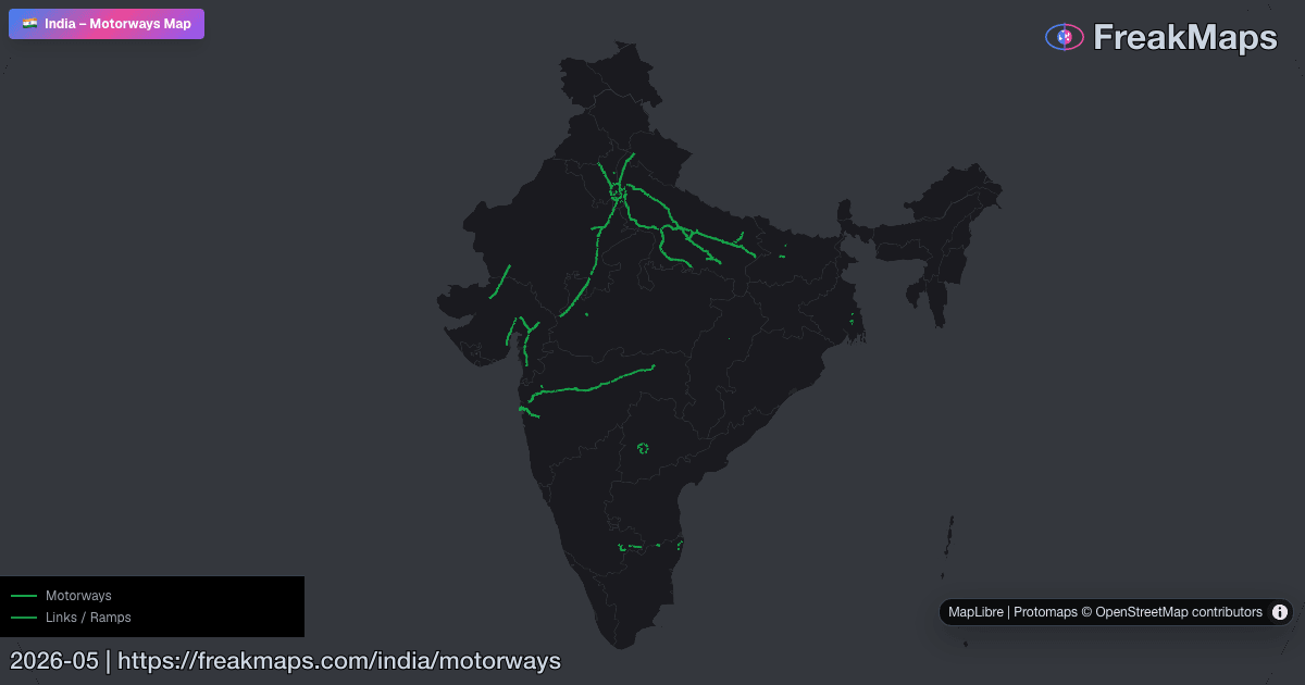
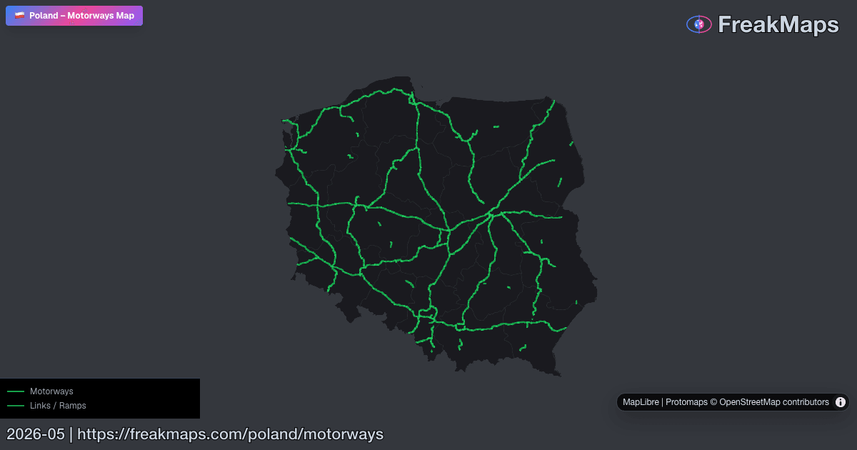
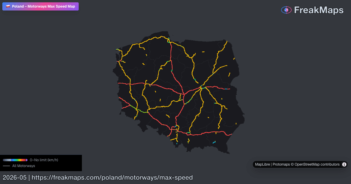
Autopistas
Mapas interactivos de autopistas por región. Añade autovías desde el menú de tipo de vía.
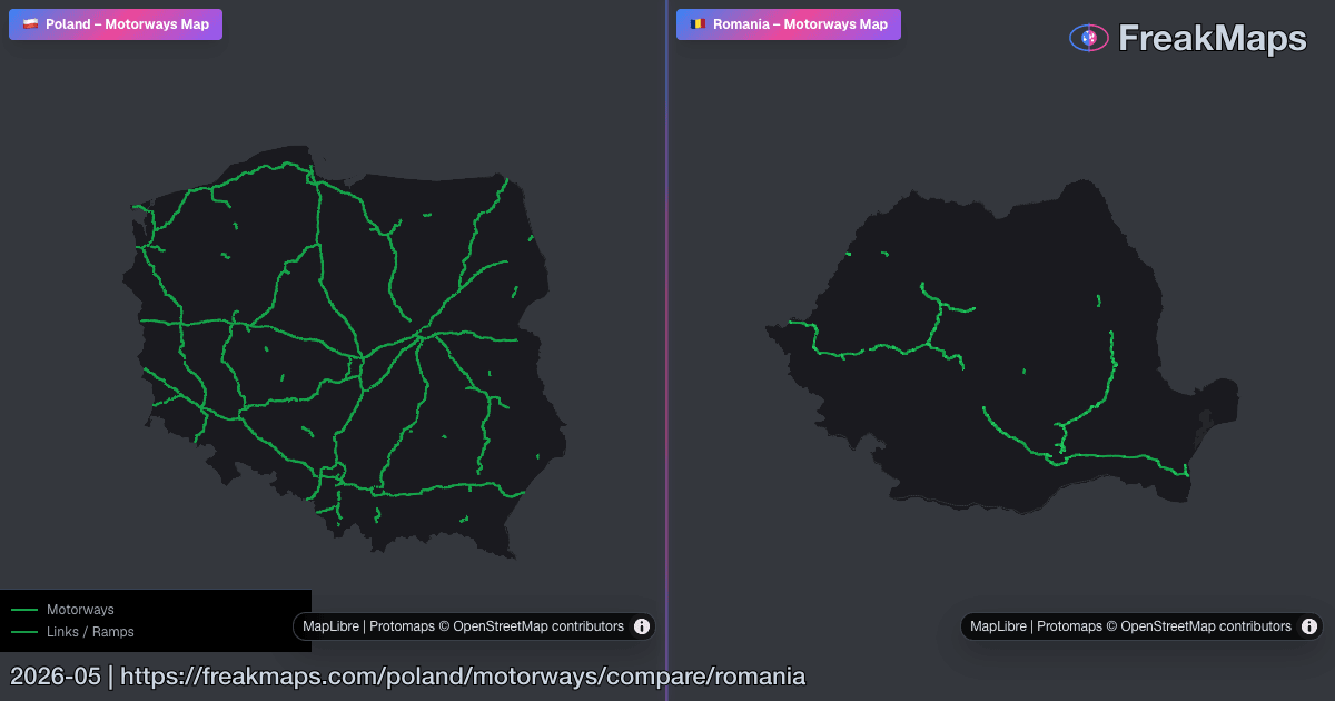
Usa Comparar región para ver dos redes de autopistas en paneles sincronizados.
Ciudades
Encuentra tu ciudad. Filtra por lo que importa.
Pase de exportación
Estilo. Recorte. Exportación.
Crea tu propio estilo de mapa, recorta con límites regionales reales y exporta PNG limpios para presentaciones, artículos o impresión.
Desde 2,99 $, sin suscripción · FreakMaps + RailsMaps
Comparaciones destacadas
Accede de un vistazo a mapas en paralelo muy útiles.
Vistas previas del mapa
Algunas imágenes Open Graph de FreakMaps y RailsMaps — haz clic para ir a los mapas en vivo.
Datos de colaboradores de OpenStreetMap. Pueden ser inexactos, pero muestran el panorama general.