FreakMaps - خرائط تفاعلية للطرق السريعة والمدن والبنية التحتية حسب البلد
يتيح لك FreakMaps استكشاف العالم من خلال خرائط تفاعلية قابلة للتصفية. المدن حسب السكان والمساحة والكثافة. الطرق السريعة والطرق السريعة حسب الحد الأقصى للسرعة، وعدد الممرات، وحالة البناء. ربط السكك الحديدية والطرق السريعة لكل مستوطنة. يتم تحديث جميع البيانات من المساهمين في OpenStreetMap حول العالم يوميًا. أكثر من 200 دولة ومنطقة، 11 لغة.
شاهد ما تريد.
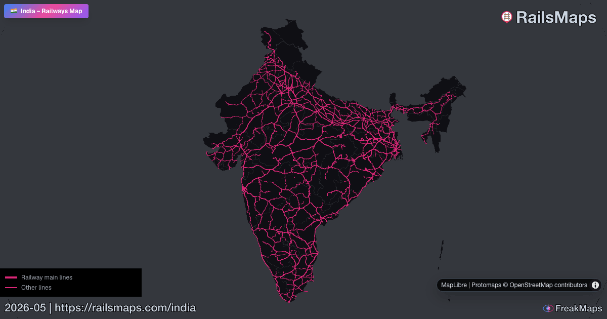
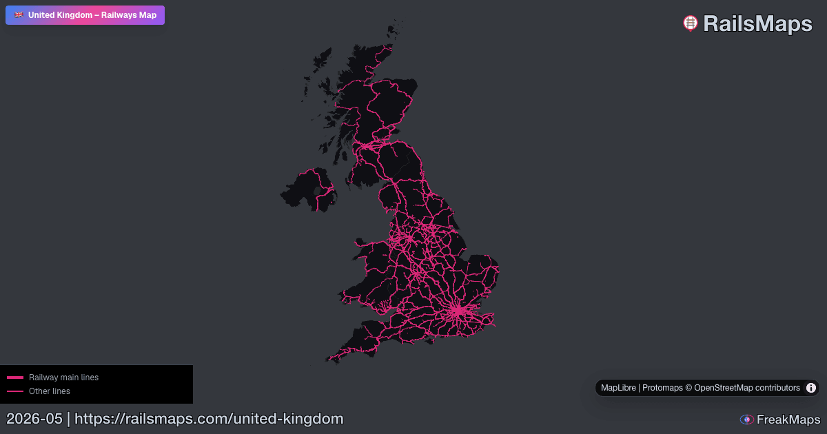
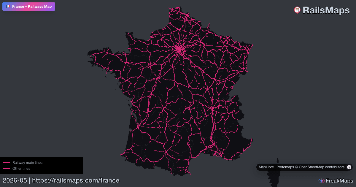
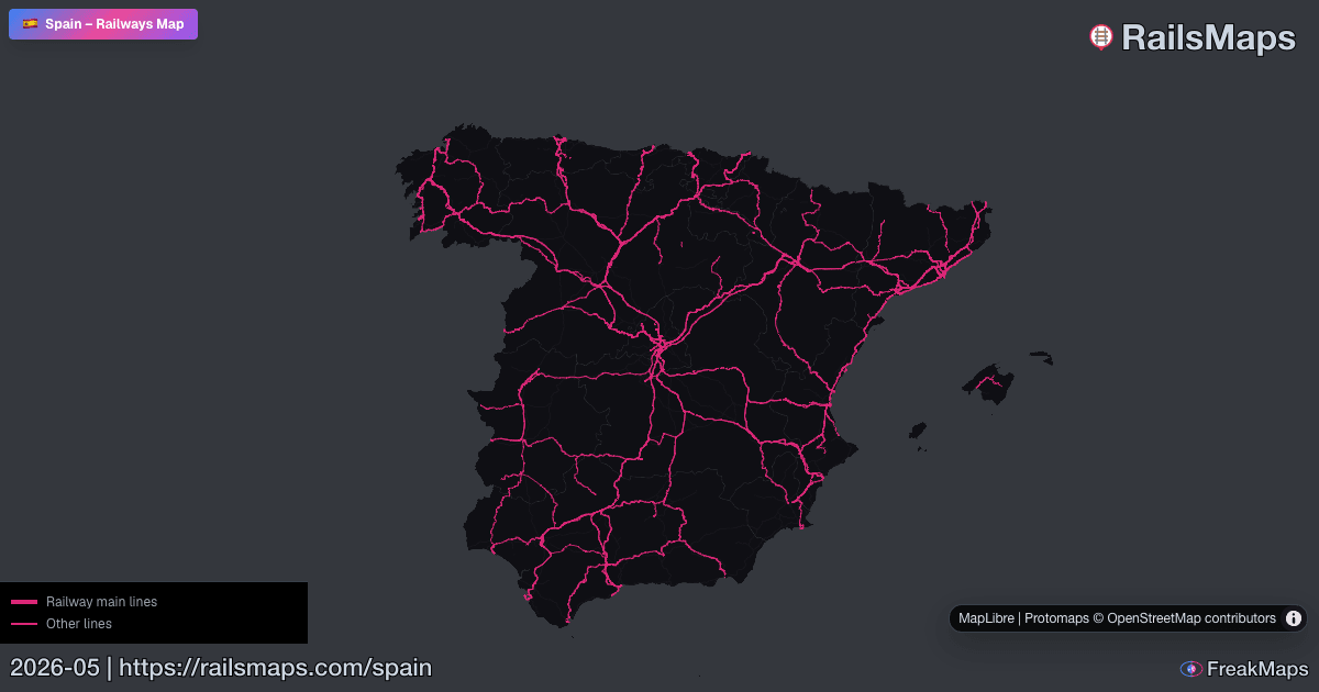
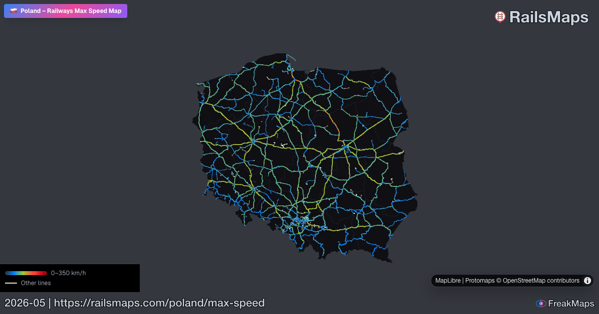
RailsMaps
كل خط سكة حديد على وجه الأرض. قم بالتصفية حسب النوع، والسرعة، والكهرباء، والمقياس - شاهد فقط ما تبحث عنه.
قارن بين منطقتين جنبًا إلى جنب لاكتشاف اختلافات الشبكة على الفور.

RAILSMAPS MOBILE
iOS & Android
أكثر من 650 منطقة متاحة دون اتصال. نزّل قبل السفر — لا حاجة لشبكة على السكة.
$4.99 مرة واحدة · جميع التحديثات مشمولة
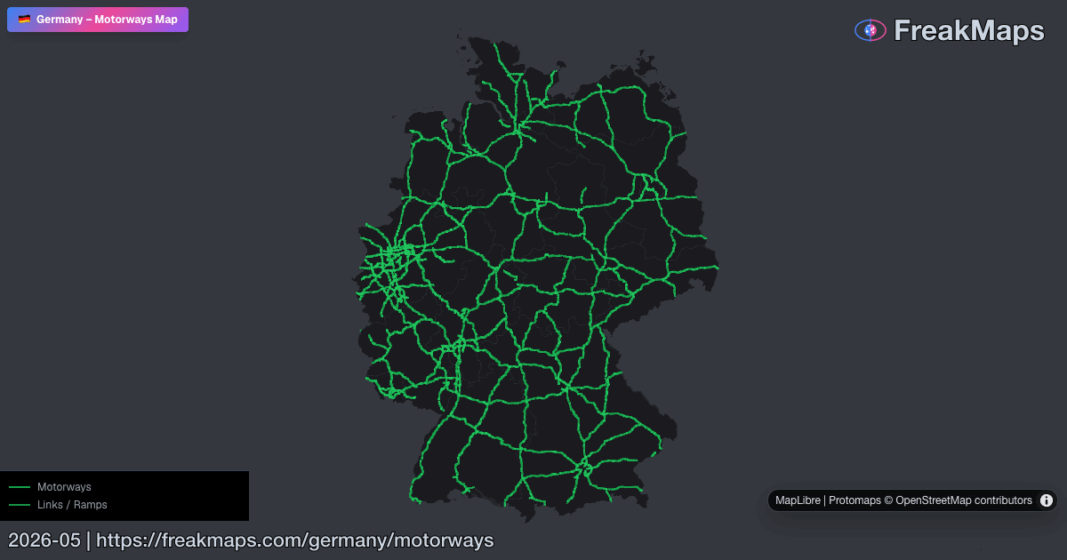
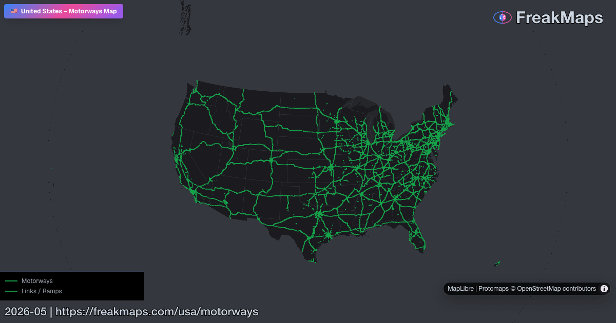
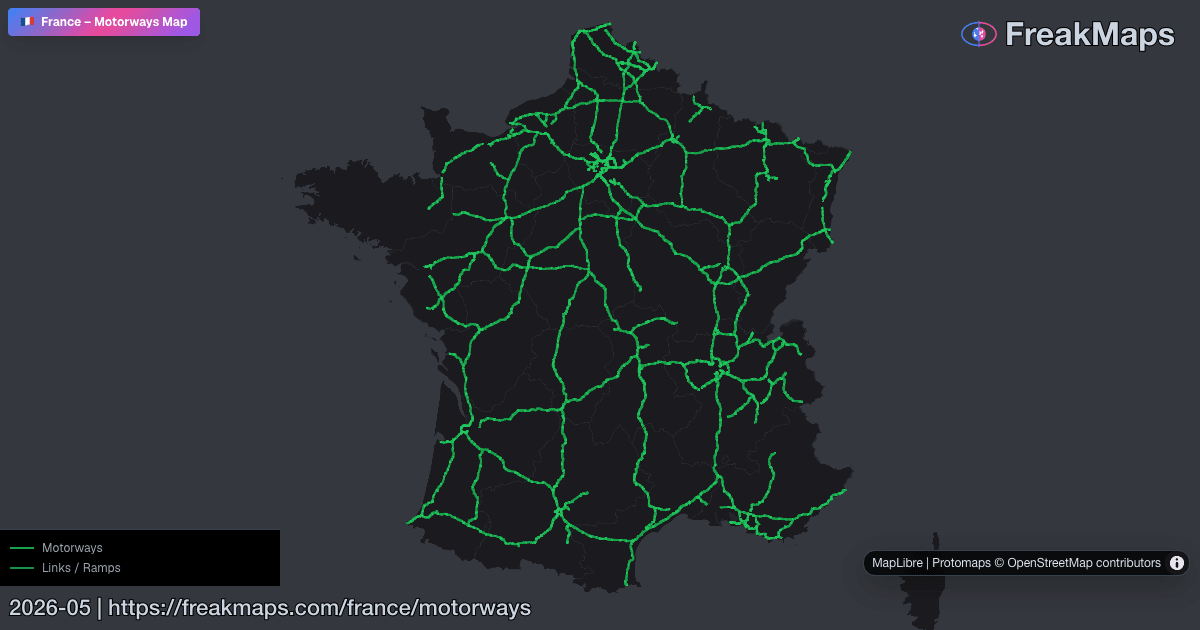
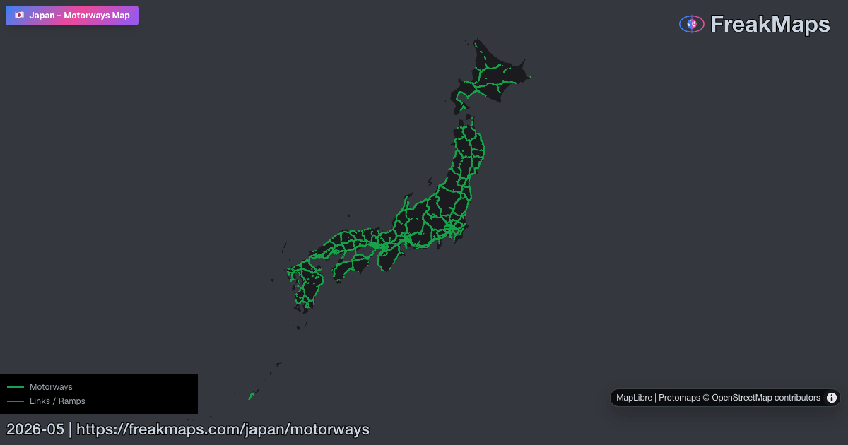
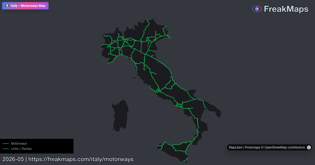
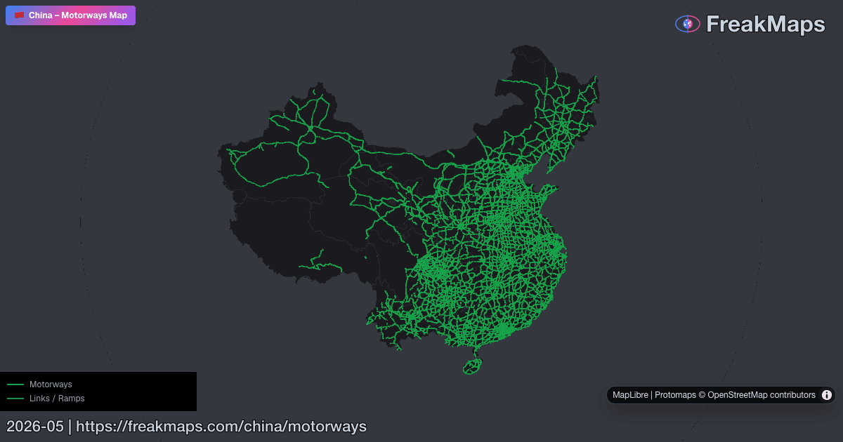
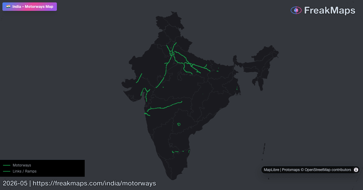
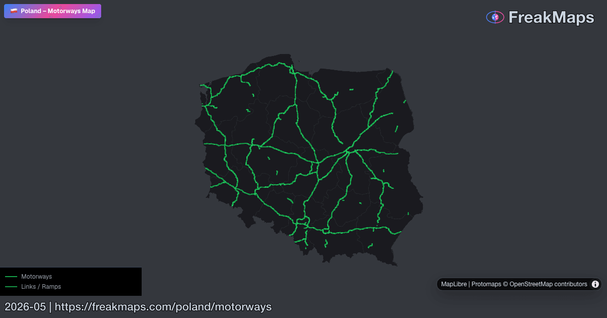
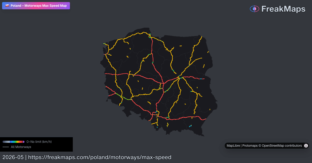
الطرق السريعة
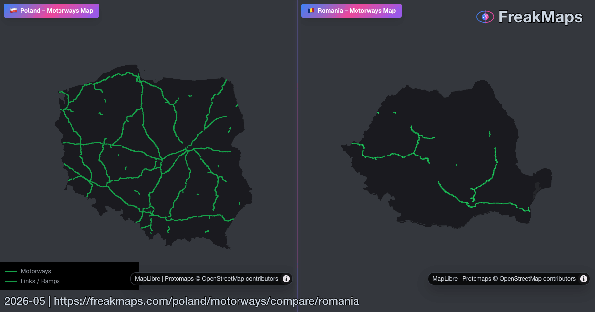
خرائط الطرق السريعة التفاعلية حسب المنطقة. قم بتبديل قائمة نوع الطريق لتشمل الطرق السريعة عندما تريد كليهما.
استخدم مقارنة المنطقة لعرض شبكتي طرق سريعة في أجزاء الخريطة المتزامنة.
المدن والبلدات
يمكنك التصفية حسب عدد السكان والكثافة والاتصال بالسكك الحديدية والمزيد.
تصريح التصدير
صمّم. قصّ. صدّر.
أنشئ أسلوب خريطتك، واقصّها حسب حدود المناطق الحقيقية، وصدّر ملفات PNG نظيفة للعروض أو المقالات أو الطباعة.
من 2.99 $، بلا اشتراك · FreakMaps + RailsMaps
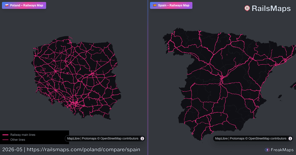
مقارنات مميزة
انتقل مباشرة إلى الخرائط جنبًا إلى جنب ذات الإشارة العالية.
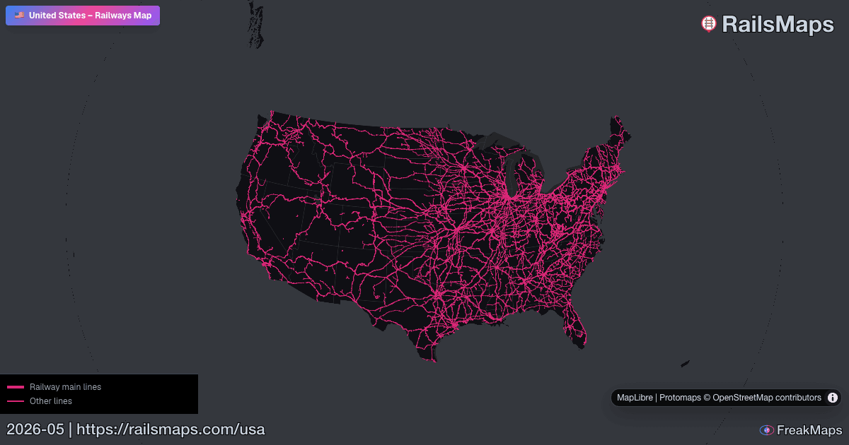
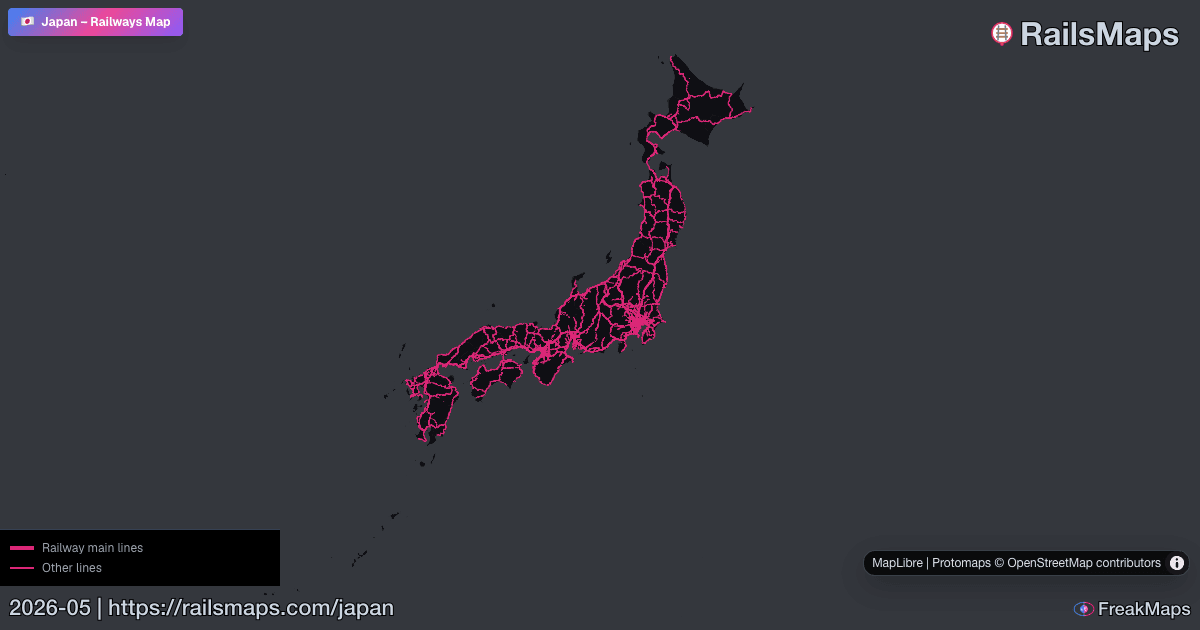
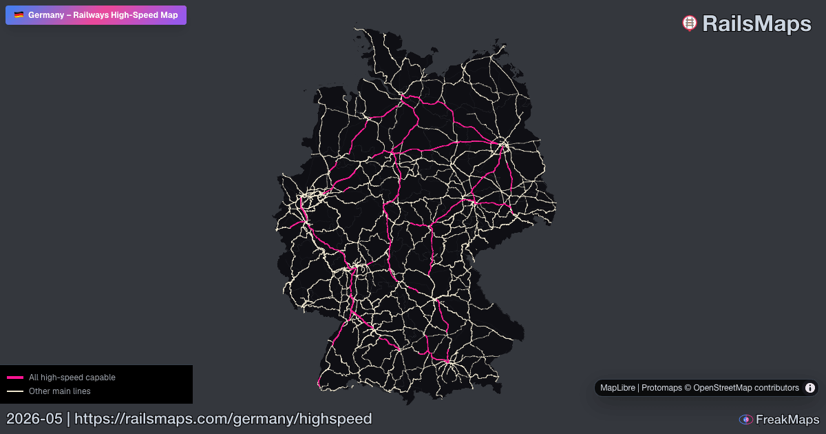
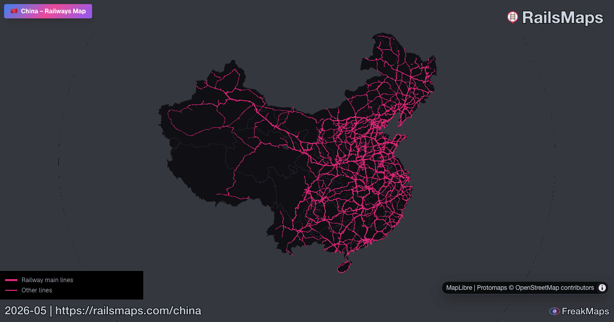
معاينات الخريطة
بعض صور معاينة Open Graph من FreakMaps وRailsMaps - انقر للوصول إلى الخرائط المباشرة.
جميع البيانات من مساهمي OpenStreetMap — مفصلة عن الأماكن التي ينشط فيها المجتمع، ومتفرقة في الأماكن التي لا ينشط فيها. إنه يظهر الصورة الأكبر، وليس التفاصيل الدقيقة.